
Real-Time Ecological Monitoring Safeguards Kenya’s Endangered Rhinos
Fatu and Najin, the last two northern white rhinos on Earth, …
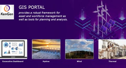
KenGen’s GIS Portal Fueling a Digital Transformation
This transformation was vital as KenGen faced the challenges of rapid …
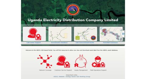
GIS Transforms Uganda’s UEDCL, Expanding its Mission
Challenges faced by the Ugandan electricity sector were multiple: aging assets, …
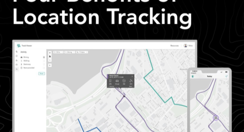
ArcGIS Tracker: Four Benefits of Location Tracking
The capacity to track assets and monitor activities in real-time has …
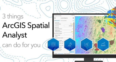
Three Things ArcGIS Spatial Analyst Can Do for You
ArcGIS Spatial Analyst is an extension for ArcGIS Desktop that provides …

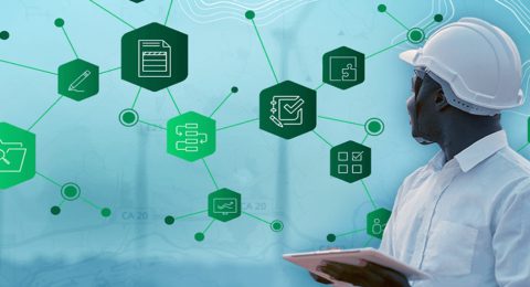
ArcGIS Solutions: Unlocking the Power of Industry-Specific GIS
In today's fast-paced and data-rich world, location matters more than ever. …
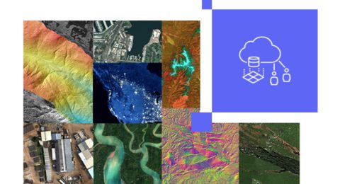
Get to Know ArcGIS Image for ArcGIS Online
In the world of Geographic Information Systems (GIS), ArcGIS Online is …
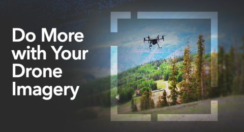
ArcGIS Drone2Map: Do More with Your Drone Imagery
Drones have revolutionized the way we capture and analyze geographic information. …
From Field to Map: Collecting and Analyzing Data with ArcGIS
In the realm of Geographic Information Systems (GIS), the journey from …