What’s New in ArcGIS StoryMaps (January 2025)
February 9, 2025 2025-02-09 19:49What’s New in ArcGIS StoryMaps (January 2025)
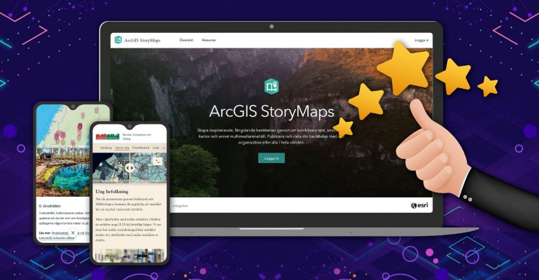
ArcGIS StoryMaps is a powerful tool for transforming maps into engaging, place-based narratives. With its intuitive builder, you can seamlessly integrate maps, 3D scenes, multimedia, embedded content, and more to craft interactive stories that inform and inspire action.
Each month, we refine and expand ArcGIS StoryMaps based on feedback from our community, adding new features to enhance your storytelling experience. Here’s what’s fresh this month.
New Cover Slide Styles in Briefings
We know that strong visuals are key to a compelling presentation, so we’re excited to introduce expanded cover style options for briefings!
- Full Cover: Now, you can use a full-page cover with an image or video to instantly captivate your audience. Customize it by selecting Change panel appearance to modify style, position, and size.
- Side-by-Side Layout: Prefer the classic look? No problem! We’ve added more flexibility by allowing you to adjust the panel size for better alignment between text and media.
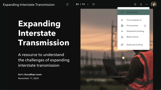
A well-designed briefing can drive action and decision-making. Get inspired with these great examples of briefings.
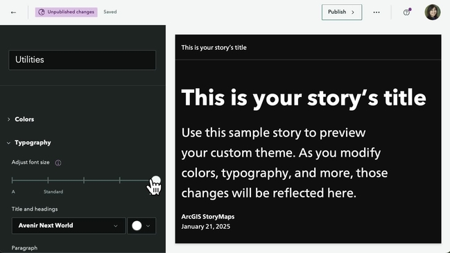
Adjustable Font Size in Theme Builder
The right font size can make or break readability. Whether you need to ensure accessibility or just want to fine-tune your story’s visual appeal, we’ve got you covered.
Now, in the theme builder, you’ll find an Adjust font size option under Typography. Use the slider to select from five size presets, and your adjustments will automatically adapt to different screen sizes.
Keep Pop-Ups Open with Media Actions
Since April 2024, you’ve been able to keep pop-ups open in web maps to direct attention to specific features. Now, this functionality extends to media actions within Sidecar blocks.
- How to use it:
- Add a web map to your first slide in a Sidecar block.
- Under Options, enable Keep pop-up open while adjusting the map. (Note: Your first slide must have a pop-up open for this to work with media actions.)
- Add a Media action, select Edit map view, then open the pop-up you want to display.
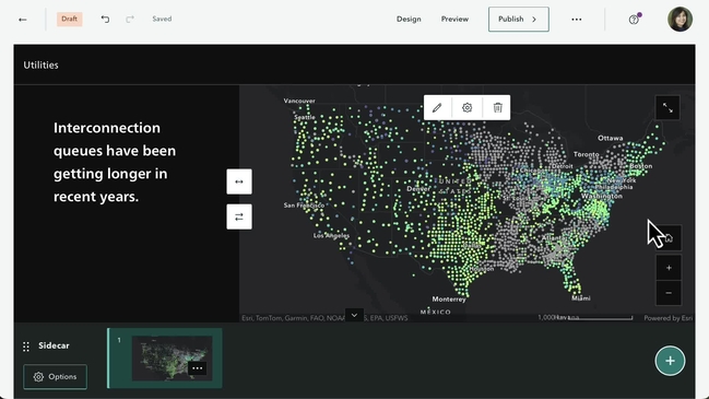
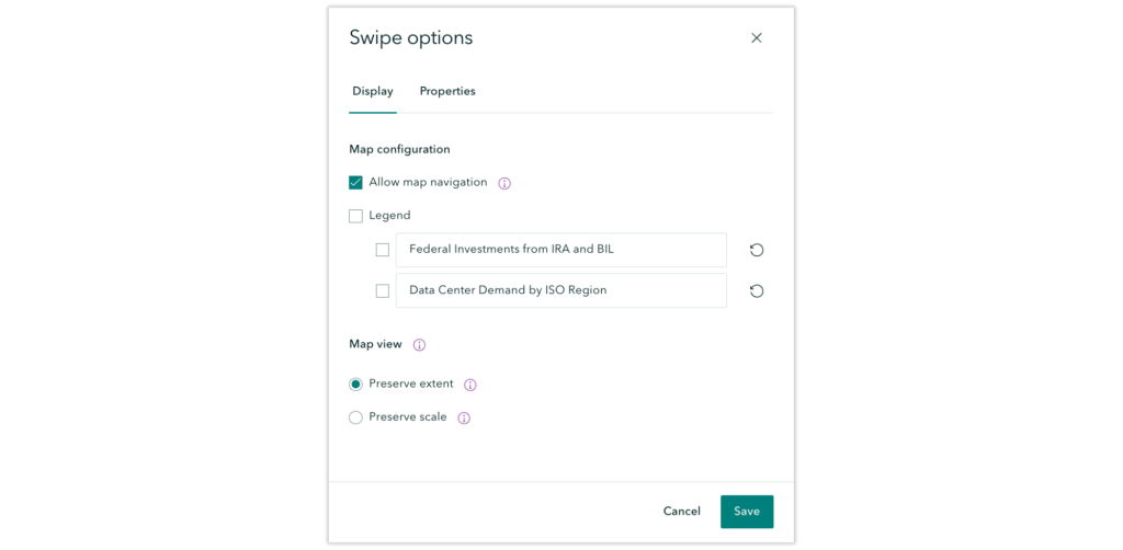
Preserve Map Extent or Scale in the Swipe Block
Since November 2024, you’ve been able to choose between preserving map extent or scale in your web maps. This update now applies to maps within Swipe blocks as well.
After adding maps to a Swipe block, go to Options and fine-tune the Map view based on your storytelling needs.
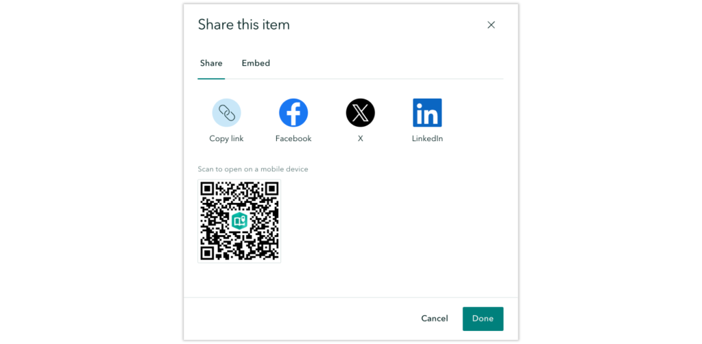
Share Stories Instantly with a QR Code
Have you ever finished a presentation only to be asked, “Do you have a QR code for that?” Now, you do—without extra steps!
Whenever you share a public story or briefing, a QR code is automatically generated. Your audience can scan it with their mobile devices for quick access.
Want to track engagement? Learn how to use web analytics to measure your traffic in ArcGIS StoryMaps.
Advanced Embedding for Websites
While basic iframe embedding has always been available, we’re introducing a more powerful way to embed stories on websites. Stay tuned for an in-depth guide coming soon, but for now, we’ve updated workflows to enhance embedding flexibility.
And More…
- In briefings, you can now open links to many ArcGIS apps in a new tab—just click the icon at the top right of the link.
- In stories, the Table block now supports up to 12 rows in addition to the header row.
- New featured themes: Esri FedGIS25 and DevTech25 themes are now available.
For more details on other updates and fixes, check out the latest release notes.
Stay tuned for more updates next month, and happy storytelling!
Disclaimer: This article was originally written by By Andria Olson. View full article here