Home
June 8, 2022 2025-02-26 11:24Home

Pushing the Boundaries of Geography
 Rachael Mutuli
 August 23, 2022
While Geography gives you a deeper understanding of today’s most challenging issues such as health, natural resources, climate, and population….
Read More

What is Spatial Data?
Rachael Mutuli
August 22, 2022
Spatial data, or geospatial data is any piece of information that specifically refers to a particular geographic region or location….
Read More

Unleashing Data’s Potential in Banking
Rachael Mutuli
August 19, 2022
With the drastic developments in the banking industry, it’s only fair for the banking sector to look for greater resources…
Read More

GIS Career Suggestions to Help you Land Your Dream Job
Rachael Mutuli
August 17, 2022
If you’re having problems getting your foot in the door for a GIS job, we have some career suggestions to…
Read More
Managing, Processing and Analysis of Drone Imagery with Site Scan for ArcGIS
Rachael Mutuli
August 16, 2022
Site Scan for ArcGIS is an end-to-end cloud-based drone mapping tool created to revolutionize the gathering, processing, and analysis of…
Read More

Discover the Digital Mapping Industry: GIS

Despite being unknown, GIS technology is frequently used in our everyday lives. We’re all curious about where things are. Real-time…
Read More

What Does a GIS Analyst Do?
A GIS analyst is a hybrid career combining data analysis, cartography (the creation of maps), and programming. In other words,…
Read More

Turning Drone Imagery to Geospatial Intelligence
Rachael Mutuli
August 11, 2022
Drones are changing how we work in practically every aspect, and the possibilities for their use are only limited by…
Read More

Modern Technology Developing the Ancient World
Rachael Mutuli
August 10, 2022
To build a more sustainable future, we must make the most of our brightest minds, creative abilities, design skills, technological…
Read More
Imagery Analysis in ArcGIS Pro
Imagery analysis is a 3-day course that not only focuses on the analysis but also in interpretation by extracting information…
Read More

Add GIS Skills to Your Portfolio
Rachael Mutuli
August 3, 2022
A career in which GIS is an integral part of your daily routine allows you to immerse yourself in a…
Read More

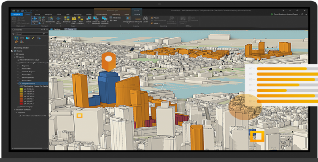
Evaluating Urban Development Plans with ArcGIS GeoPlanner
Due to limited land resources, development demands, and intricate planning procedures, planning authorities have substantial obstacles in protecting key places…
Read More
Leveraging GIS for Sustainable African Cities
Rachael Mutuli
July 29, 2022
Like the rest of the world, the rapid growth in population has caught many African cities unprepared. Key sectors struggle…
Read More
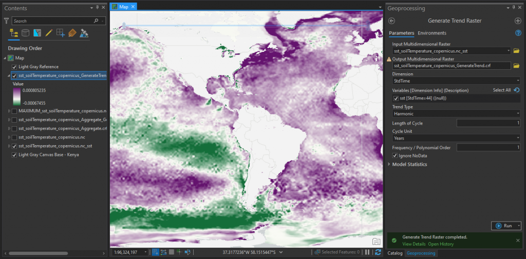
How to Perform Multidimensional raster analysis in ArcGIS Pro
Multidimensional data represents data captured at multiple times or multiple depths or heights and it includes the elements of time…
Read More

An Easy Solution to Your Data Management Problems
Rachael Mutuli
July 25, 2022
Today, almost all C-suite executives view data management as an essential tool for business strategy. GIS technology provides business leaders…
Read More