Home
June 8, 2022 2025-02-26 11:24Home
NASA Space Apps Challenge 2024: Sparking Innovation Across Kenya
 Rachael Mutuli
 December 11, 2024
The 2024 NASA Space Apps Challenge brought together coders, scientists, designers, and innovators across Kenya to tackle global and local…
Read More

Esri Eastern Africa Celebrates GIS Day with a Week of Exciting Activities
Rachael Mutuli
December 11, 2024
GIS Day 2024 was a week-long celebration of geographic innovation, awareness, and community for Esri Eastern Africa. Our team embraced…
Read More
ArcGIS Pro 3.4: Unveiling New Features and Enhancements
Rachael Mutuli
December 9, 2024
The latest ArcGIS Pro 3.4 update brings exciting advancements to streamline your workflows, improve productivity, and expand capabilities
Read More
2025 Esri MOOC Schedule: Free Training Opportunities to Expand Your Skills

MOOCs are online courses designed to help you build new skills, grow professionally, and explore GIS-related topics—all at no cost….
Read More

Discover What’s New in ArcGIS Online (November 2024)
Rachael Mutuli
December 4, 2024
This November 2024 update introduces innovative features, enhanced workflows, and expanded customization options. Key improvements include
Read More
Discover What’s New in ArcGIS GeoBIM
Rachael Mutuli
November 20, 2024
ArcGIS GeoBIM introduces an innovative, web-based platform that empowers teams to collaborate on building information modeling (BIM) projects within a…
Read More
Discover What’s New in ArcGIS Dashboards (November 2024)
Rachael Mutuli
November 20, 2024
The November 2024 update to ArcGIS Dashboards brings exciting new features, enhancements, and performance improvements. Here’s a
Read More
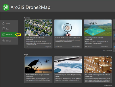
What’s New in ArcGIS Drone2Map 2024.2
Rachael Mutuli
November 19, 2024
The latest release of ArcGIS Drone2Map is here, bringing exciting new features and enhancements. Below are the highlights of version…
Read More
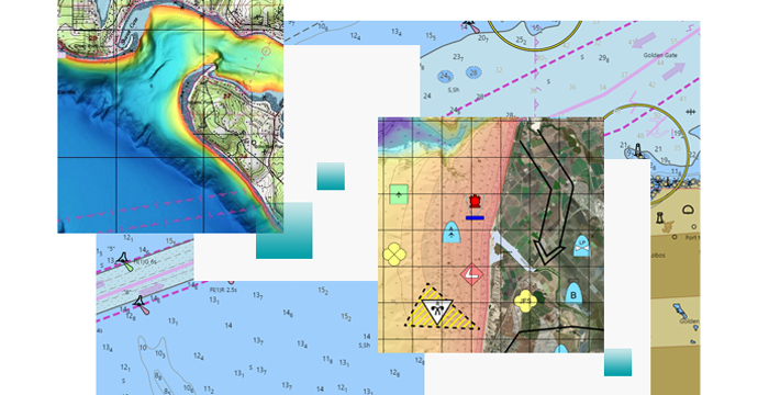
What’s New in ArcGIS Maritime – November 2024
Rachael Mutuli
November 19, 2024
The latest ArcGIS Maritime update introduces powerful tools and enhancements to improve chart creation and maritime data management. The new…
Read More

Tacare: Community Mapping Sparks a Global Conservation Movement
Rachael Mutuli
November 15, 2024
While the park remained lush, it was encircled by deforested hills and agricultural settlements. Local communities had overexploited resources…
Read More
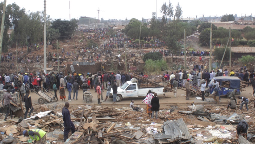
Nairobi: Spatial Data and Maps Empower Advocacy for the Urban Poor
Rachael Mutuli
November 15, 2024
In May 2020, during a COVID-19 lockdown in Nairobi, Kenya, approximately 7,000 people in the low-income Kariobangi settlement were forcibly…
Read More

Born Free Uses Smart Maps to Protect Lions and Resolve Human-Wildlife Conflicts
Rachael Mutuli
November 15, 2024
In regions of Africa, lions frequently clash with livestock herders, leading to threats against both animals and people.
Read More
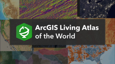
Discover Data and Maps on ArcGIS Living Atlas
Rachael Mutuli
November 5, 2024
Discover Data and Maps on ArcGIS Living Atlas and learn key data categories and how you can access ArcGIS Living…
Read More

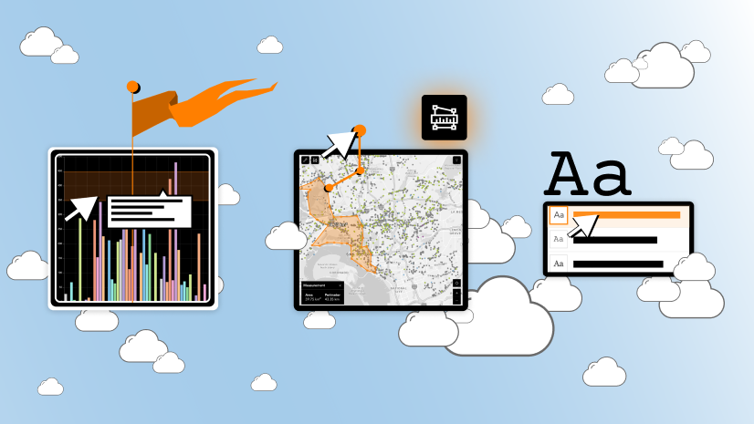
10 Powerful ArcGIS Features Every GIS Professional Should Know
Rachael Mutuli
November 5, 2024
For GIS professionals, mastering ArcGIS’s core features can unlock powerful insights, streamline workflows, and enhance project outcomes. Here are ten…
Read More
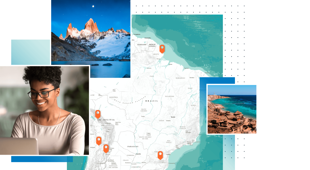
How to Make Your First Interactive Map with ArcGIS StoryMaps
Rachael Mutuli
November 5, 2024
ArcGIS StoryMaps combines maps with multimedia content, text, and design features to create compelling narratives. Whether you’re a GIS professional,…
Read More