ArcGIS for Climate Change Modeling: Innovative Approaches in 2024
September 2, 2024 2024-09-02 14:08ArcGIS for Climate Change Modeling: Innovative Approaches in 2024
ArcGIS for Climate Change Modeling: Innovative Approaches in 2024
As the global community confronts the escalating challenges of climate change, the need for accurate and dynamic climate modeling has never been more urgent. Understanding the potential impacts of climate change requires sophisticated tools that can analyze vast datasets, predict future scenarios, and inform decision-making processes. In 2024, ArcGIS continues to lead the charge in climate change modeling, offering innovative approaches that empower researchers, policymakers, and organizations to tackle this global crisis effectively.
Why Climate Change Modeling Matters
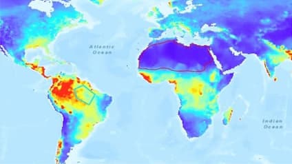
Climate change is a complex and multifaceted issue that affects every aspect of life on Earth. From rising sea levels and extreme weather events to shifts in biodiversity and agricultural productivity, the impacts of climate change are profound and far-reaching. To mitigate these effects and adapt to new realities, we need precise models that can forecast climate-related changes and provide actionable insights.
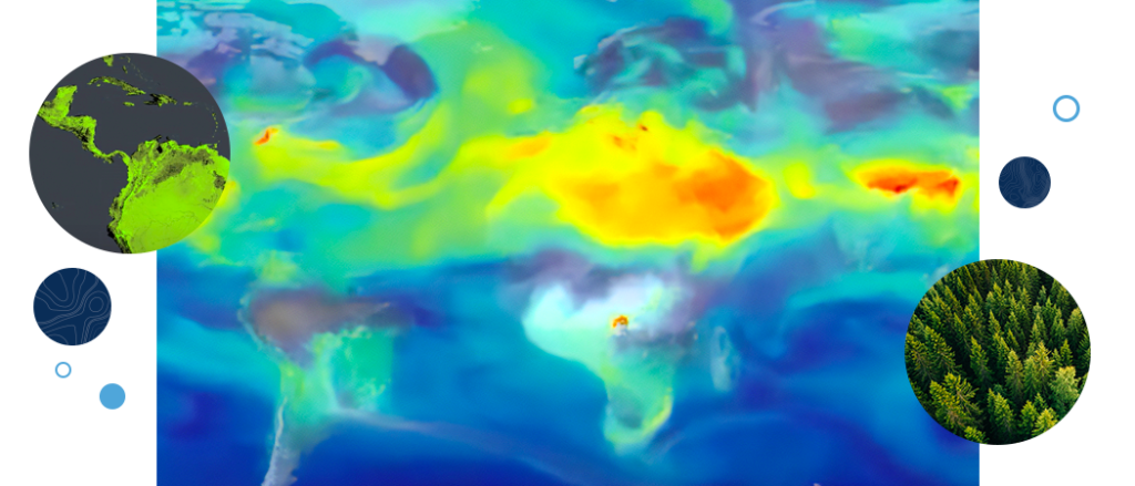
ArcGIS plays a crucial role in this effort by integrating geographic information system (GIS) technology with advanced modeling capabilities. These tools allow users to visualize climate data, run simulations, and analyze the spatial and temporal dimensions of climate change. As we move through 2024, ArcGIS continues to evolve, offering cutting-edge solutions for climate change modeling that are more powerful, accessible, and user-friendly than ever before.
Leveraging ArcGIS Pro for Climate Modeling
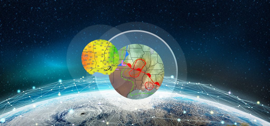
ArcGIS Pro stands out as a robust platform for climate change modeling. Its advanced geoprocessing tools, 3D visualization capabilities, and support for big data make it an ideal choice for researchers and analysts.
1. Integrating Diverse Datasets
One of the key strengths of ArcGIS Pro is its ability to integrate diverse datasets, including satellite imagery, meteorological data, and socio-economic indicators. By bringing together these varied data sources, users can create comprehensive models that reflect the complex interplay between climate and human activities.
For example, researchers can combine temperature and precipitation data with land-use maps to predict how agricultural zones might shift in response to climate change. This integration not only enhances the accuracy of the models but also provides a holistic view of potential impacts, enabling more informed decision-making.
2. Running Advanced Simulations
ArcGIS Pro’s geoprocessing tools are essential for running simulations that predict future climate scenarios. These tools allow users to model phenomena such as sea-level rise, storm surge, and the spread of wildfires under different climate conditions. By adjusting variables and parameters, users can explore a range of scenarios and assess the potential outcomes of different mitigation and adaptation strategies.
For instance, urban planners can use ArcGIS Pro to simulate the impact of rising sea levels on coastal infrastructure. By modeling various scenarios, they can identify vulnerable areas, prioritize interventions, and develop resilience strategies that protect communities and economies from the worst effects of climate change.
Real-Time Data and Predictive Analytics with ArcGIS Velocity
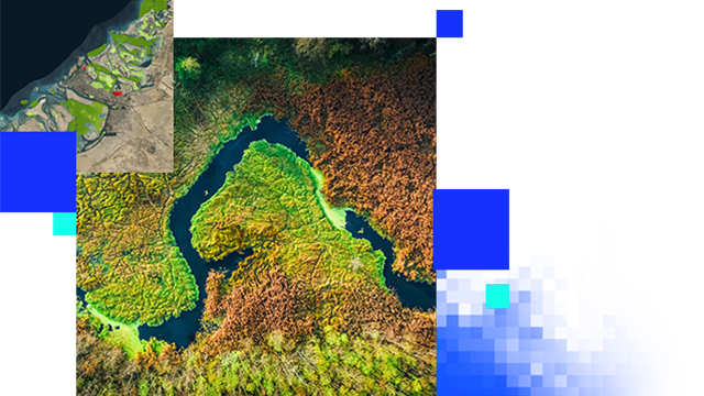
As climate change accelerates, the ability to analyze and respond to real-time data becomes increasingly important. ArcGIS Velocity offers innovative solutions for climate change modeling by enabling the continuous monitoring and analysis of environmental data.
1. Real-Time Monitoring
ArcGIS Velocity excels in processing high-volume, real-time data streams from sensors, satellites, and IoT devices. This capability is crucial for monitoring climate-related phenomena such as temperature fluctuations, atmospheric CO2 levels, and weather patterns.
For example, environmental agencies can use ArcGIS Velocity to monitor air quality in real-time, identifying pollution hotspots and correlating them with weather conditions and human activities. This information is invaluable for developing responsive policies and interventions that address the immediate impacts of climate change.
2. Predictive Analytics
Beyond real-time monitoring, ArcGIS Velocity also supports predictive analytics, allowing users to forecast future conditions based on current trends. By applying machine learning algorithms to historical and real-time data, users can generate predictive models that anticipate climate-related events, such as heatwaves, droughts, and flooding.
These predictive insights enable governments, businesses, and communities to prepare for and mitigate the impacts of climate change proactively. For instance, water resource managers can use predictive models to forecast drought conditions and implement water conservation measures before a crisis occurs.
Engaging Stakeholders with ArcGIS StoryMaps
Effective communication is critical in the fight against climate change. It’s not enough to generate accurate models; the results must be communicated clearly and compellingly to a wide range of stakeholders, including policymakers, community leaders, and the public. ArcGIS StoryMaps provides a powerful platform for doing just that.
1. Visualizing Climate Data
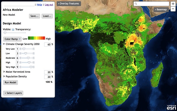
ArcGIS StoryMaps allows users to create interactive, visually engaging narratives that combine maps, text, images, and videos. This is particularly useful for visualizing complex climate data in a way that is accessible and understandable to non-experts.
For example, a climate scientist can create a StoryMap that illustrates the projected impacts of climate change on a specific region, showing how rising temperatures and shifting precipitation patterns might affect local ecosystems and communities. By presenting this information in a visually compelling format, the scientist can engage a broader audience and inspire action.
2. Telling Compelling Stories
In addition to visualizing data, ArcGIS StoryMaps helps users tell compelling stories that connect with their audience emotionally. By integrating personal narratives, historical context, and future scenarios, StoryMaps can make the abstract concept of climate change more tangible and relatable.
For instance, a StoryMap might explore the experiences of a coastal community facing the threat of sea-level rise, combining personal stories with scientific data to illustrate the urgent need for adaptation and resilience. This approach not only informs but also motivates stakeholders to support climate action.
Supporting Sustainable Development with ArcGIS Hub
Sustainable development is a key component of the global response to climate change. ArcGIS Hub is a collaborative platform that enables governments, organizations, and communities to work together on sustainability initiatives. In 2024, ArcGIS Hub continues to play a vital role in supporting climate change modeling and action.
1. Facilitating Collaboration
ArcGIS Hub fosters collaboration by providing a centralized platform where stakeholders can share data, tools, and resources. This collaborative approach is essential for addressing the multi-faceted challenges of climate change, which require coordinated action across sectors and regions.
For example, a regional climate consortium might use ArcGIS Hub to share data on greenhouse gas emissions, energy consumption, and climate impacts. By pooling their resources and expertise, consortium members can develop more comprehensive models and strategies for reducing emissions and building climate resilience.
2. Driving Community Engagement
ArcGIS Hub also supports community engagement by enabling the public to participate in climate change initiatives. Through interactive maps, surveys, and events, Hub projects can involve citizens in data collection, decision-making, and advocacy efforts.
For instance, a city government might use ArcGIS Hub to launch a community-driven climate action plan. Residents could contribute data on energy usage, participate in workshops, and track the progress of local sustainability projects. This grassroots engagement helps build broad support for climate action and ensures that strategies are tailored to the needs and priorities of the community.
In 2024, ArcGIS continues to revolutionize climate change modeling with innovative approaches that combine advanced technology, real-time data, and collaborative platforms. By leveraging tools like ArcGIS Pro, ArcGIS Velocity, ArcGIS StoryMaps, and ArcGIS Hub, researchers, policymakers, and organizations can develop more accurate models, communicate their findings effectively, and mobilize action to address the urgent challenges of climate change.
Explore innovative solutions and gain the insights you need to drive impactful change. Visit our online store today to purchase ArcGIS products and start making a difference in 2024. https://ea-store.esri.com/en-ke/store/overview


