ArcGIS for Electric Utilities; optimizing grid performance & maintenance
June 6, 2023 2023-06-06 11:48ArcGIS for Electric Utilities; optimizing grid performance & maintenance
ArcGIS for Electric Utilities; optimizing grid performance & maintenance
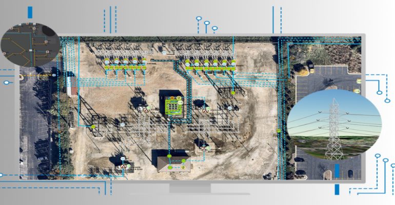
The electricity grid is the backbone of modern society, powering homes, businesses, and industries. Ensuring the reliable and efficient operation of this critical infrastructure is of utmost importance for electric utilities. Geographic Information Systems (GIS) have emerged as a valuable tool for optimizing grid performance and maintenance. Esri’s ArcGIS platform, specifically tailored for electric utilities, provides a comprehensive solution to manage, analyze, and visualize geospatial data, enabling utilities to make informed decisions and enhance their operations.
What is ArcGIS for Electric Utilities?
ArcGIS for Electric Utilities is a specialized suite of tools and applications that leverage the power of GIS technology to address the unique challenges faced by electric utilities. By integrating geospatial data with operational systems, ArcGIS enables utilities to gain insights into their infrastructure, streamline workflows, and improve asset management.
Related: ArcGIS Maritime Extension – making marine data accessible
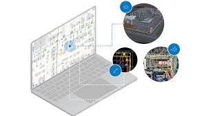
How ArcGIS empowers electric utilities to optimize grid performance
Here are some keyways in which ArcGIS empowers electric utilities to optimize grid performance and maintenance:
ArcGIS for electric utilities ensures accurate asset management
Electric utilities manage a vast network of assets, including power lines, substations, transformers, and meters. ArcGIS allows utilities to create a detailed and accurate inventory of these assets by capturing their locations, attributes, and condition data on a digital map. This geospatial representation of assets provides a comprehensive view of the entire infrastructure, making it easier to assess the health of assets, plan maintenance activities, and make informed decisions regarding repairs or replacements.
Enhanced network analysis
ArcGIS provides powerful network analysis capabilities that enable electric utilities to perform complex calculations and simulations related to their electrical network. Utilities can model power flows, analyze fault scenarios, and assess the impact of changes or upgrades to the grid. This helps utilities identify potential bottlenecks, optimize network performance, and plan for future growth or load changes. By leveraging GIS-based network analysis, utilities can make data-driven decisions to enhance grid reliability and efficiency.
Real-time monitoring
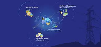
Timely information is critical for efficient grid management. ArcGIS enables electric utilities to integrate real-time data from various sources, such as sensors, smart meters, and SCADA systems, into their GIS platform. This integration provides utilities with a comprehensive view of the grid’s status, including power outages, load conditions, and equipment performance. By visualizing this real-time data on a map, utilities can quickly identify and respond to issues, minimize downtime, and improve service restoration times.
Effective workforce management
ArcGIS offers tools for efficient workforce management, enabling electric utilities to optimize field operations and maintenance activities. By integrating GIS with mobile devices, field crews can access real-time information, including work orders, asset locations, and historical data, while in the field. This ensures that field teams have accurate and up-to-date information, reducing response times and improving the efficiency of maintenance tasks. GIS-based workforce management also facilitates better coordination between field crews and office personnel, streamlining communication and minimizing errors.
Predictive maintenance
ArcGIS enables electric utilities to move from reactive to proactive maintenance strategies. By analyzing historical data, sensor readings, and asset condition information, utilities can identify patterns and indicators of potential equipment failures. This allows utilities to implement predictive maintenance programs, scheduling repairs or replacements before a failure occurs. Predictive maintenance helps utilities minimize downtime, extend the lifespan of assets, and optimize maintenance budgets by focusing resources on critical areas.

Spatial analysis and planning
GIS-based spatial analysis tools provided by ArcGIS enable electric utilities to analyze various factors that affect grid performance. Utilities can assess environmental impact, evaluate land use changes, and identify optimal locations for new infrastructure based on factors like population density, load requirements, and accessibility. This spatial analysis aids in long-term planning, ensuring that the grid is resilient, adaptable, and capable of meeting future demand.
If you’re looking to purchase ArcGIS Products, click here!

