ArcGIS for Forest Monitoring: An Essential Tool for Environmental Conservation
June 7, 2023 2023-08-28 7:27ArcGIS for Forest Monitoring: An Essential Tool for Environmental Conservation
ArcGIS for Forest Monitoring: An Essential Tool for Environmental Conservation
Forests are vital ecosystems that provide numerous benefits, including carbon sequestration, biodiversity conservation, and resource sustainability. However, with increasing deforestation rates and the pressing need for effective environmental conservation, monitoring and managing forests have become paramount. ArcGIS offers comprehensive tools and capabilities to monitor forests, assess their health, and support sustainable management practices. In this article, we explore how ArcGIS is transforming forest monitoring and enabling environmental conservation efforts worldwide.
Related: Digitally Transforming the Future of Natural Resources
How ArcGIS is transforming forest monitoring
Here is how ArcGIS is transforming forest monitoring and environmental conservation:
Mapping and visualization
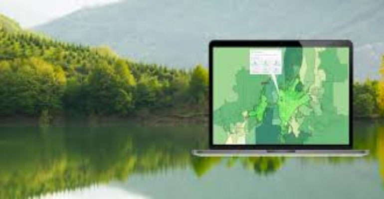
ArcGIS enables the creation of detailed maps that accurately depict forest cover, land use, and land cover changes over time. Thanks to high-resolution satellite imagery and ariel photographs, GIS professionals can generate precise maps that provide a comprehensive overview of forest ecosystems. These maps serve as a baseline for monitoring changes in forest extent, identifying deforestation hotspots, and evaluating the effectiveness of conservation interventions.
Deforestation detection and analysis
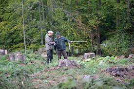
ArcGIS provides advanced spatial analysis tools that help identify and monitor deforestation activities. Through the integration of remote sensing data and historical imagery, GIS specialists can detect changes in forest cover, track deforestation rates, and quantify the extent of forest loss. By analyzing these data, policymakers, conservation organizations, and researchers can identify the drivers of deforestation, implement targeted interventions, and enforce environmental regulations to mitigate further forest degradation.
Related: Climate Change is a Spatial Issue
Biodiversity conservation
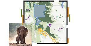
Conserving biodiversity within forest ecosystems is crucial for maintaining ecological balance. ArcGIS facilitates the integration of biodiversity data, such as species distribution, habitat suitability, and ecological corridors, with forest monitoring efforts. By overlaying forest cover data with biodiversity information, conservationists can identify areas of high biodiversity value and prioritize them for protection. GIS tools also enable the identification of habitat fragmentation and assist in designing effective conservation strategies to maintain the integrity of forest ecosystems.
Forest health monitoring
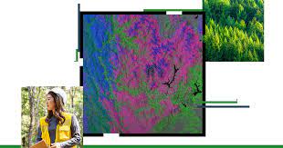
Monitoring the health of forests is essential for early detection of disease outbreaks, pest infestations, and climate change impacts. ArcGIS allows for the integration of various data sources, such as remote sensing data, climate data, and ground observations, to monitor forest health indicators. By analyzing these data, forest managers can assess the vulnerability of forests, identify areas at risk, and implement timely measures to mitigate potential threats. Proactive monitoring using ArcGIS can lead to improved forest resilience and adaptive management practices.
Community engagement and participatory mapping
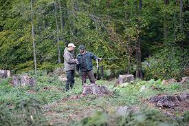
ArcGIS offers tools for community engagement and participatory mapping, involving local communities in forest monitoring and conservation efforts. By empowering local stakeholders to contribute data, knowledge, and observations, ArcGIS enables a more inclusive and collaborative approach to forest management. Participatory mapping allows communities to identify and report forest encroachments, illegal logging activities, or other environmental concerns, fostering a sense of ownership and enhancing the effectiveness of conservation initiatives.
ArcGIS has revolutionized forest monitoring by providing a comprehensive suite of tools to assess and manage forests effectively. As we face escalating challenges of deforestation and environmental degradation, harnessing the power of ArcGIS is crucial in preserving our forests for future generations and achieving global sustainability goals.
Embrace ArcGIS for forest monitoring and contribute to the vital mission of environmental conservation. Together, let’s safeguard our forests and preserve the incredible biodiversity they hold.
Click here to buy ArcGIS products online.

