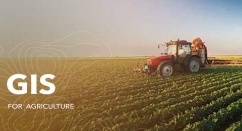
Helping farmers see the bigger picture.
Any farmer knows that their success or failure can hinge on …

Bringing Together the Power of GIS
Friday 16th September 2022, Esri Eastern Africa and GIS limited entered …

Esri Eastern Africa and Fahari Aviation Take to the Skies
Wednesday 27 July 2022, Esri Eastern Africa, and Fahari Aviation (FAV) …

Harness the power of spatial analytics
Imagine a world in which companies could improve their execution processes …
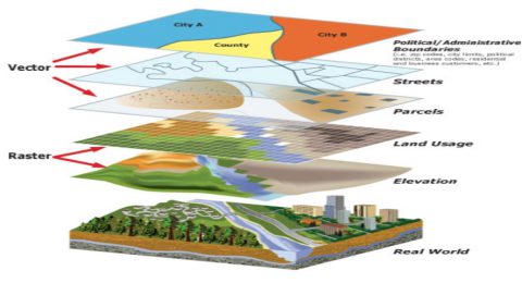
Know your options when it comes to GIS data formats
This article will get you started by teaching you about several …
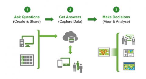
Simplify your data collection efforts with ArcGIS Survey 123
ArcGIS Survey 123 is a fast and easy way to gather …

How GIS can be used to better plan your next camping trip
Whether you're a parent or a camper, one thing's for sure: …

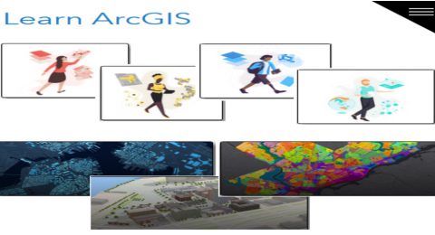
Become a successful GIS analyst
As a GIS analyst, you're at a unique point in your …
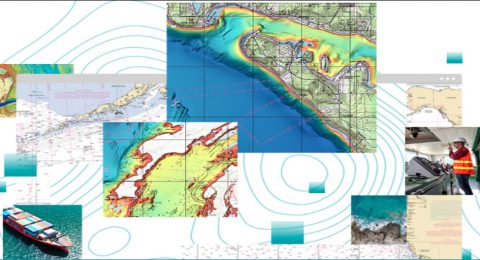
ArcGIS Maritime Extension – making marine data accessible!
ArcGIS Maritime Extension provides SQL capabilities, as well as topological tools …
Five tips to get started in GIS
Here are five tips that can help you get started in …

Propelling organizations to greater heights
How good is your location? Is it time to kick your …
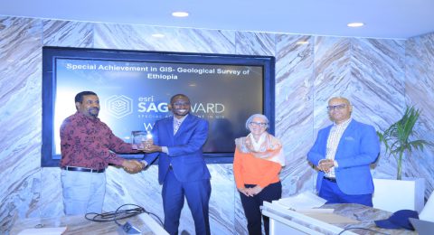
And the Special Achievement Award in GIS Goes To…GSE!
Geological Survey of Ethiopia (GSE) was awarded the 2022 Special Achievement …