
GIS for Transportation Planning and Traffic Management
This blog explores the role of GIS in transportation planning and …

Enhancing Precision Agriculture with GIS Technology
This blog explores how GIS technology, particularly through ArcGIS, is revolutionizing …

Using Drones for High-Resolution Mapping and Surveying
In the ever-evolving field of GIS, drones have emerged as a …

The Importance of Data Accuracy and Validation in GIS Projects
Field data collection …
The Impact of an Esri YPN Member Badge
YPN Member Badge …

Top GIS Trends to Watch in 2024
Geographic Information Systems (GIS) continue to evolve, offering innovative solutions and …
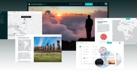
Exciting Updates in ArcGIS StoryMaps (April 2024)
ArcGIS StoryMaps stands as the premier storytelling tool, allowing you to …
What’s New in the ArcGIS StoryMaps Briefings App (April 2024)
Craft dynamic presentations, termed briefings, effortlessly with the ArcGIS StoryMaps builder, …
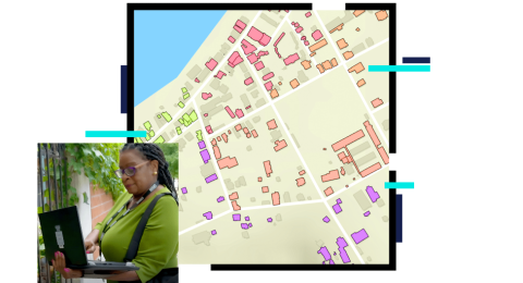
Tips & Tricks: Field Data Collection Best Practices
In this blog article, we'll delve into some indispensable tips and …
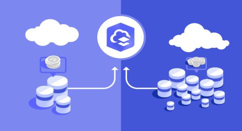
Three Things ArcGIS Online Credits Can Do for You
ArcGIS Online credits is a form of currency that allows users …
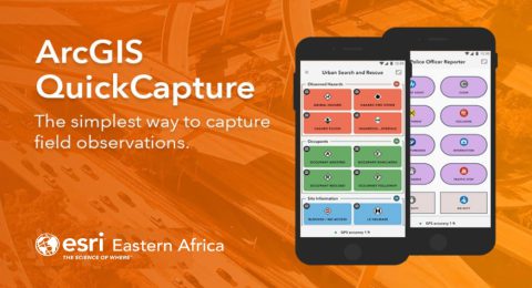
Tips and Tricks with ArcGIS QuickCapture
In the realm of Geographic Information Systems (GIS), data collection is …

Transforming Interior Spaces with ArcGIS Indoors
So, how exactly does ArcGIS Indoors work, and how can it …