Born Free Uses Smart Maps to Protect Lions and Resolve Human-Wildlife Conflicts
November 15, 2024 2024-11-15 13:28Born Free Uses Smart Maps to Protect Lions and Resolve Human-Wildlife Conflicts
Born Free Uses Smart Maps to Protect Lions and Resolve Human-Wildlife Conflicts
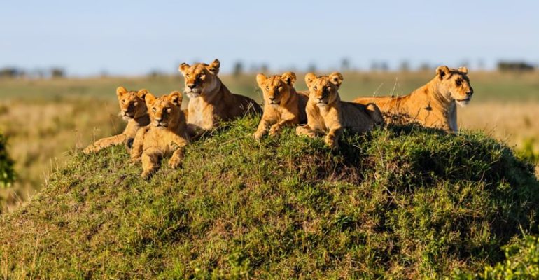
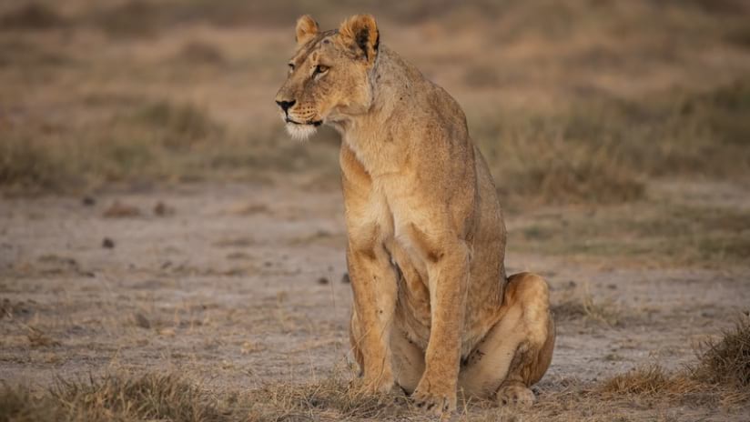
In regions of Africa, lions frequently clash with livestock herders, leading to threats against both animals and people. Traditional efforts, such as relocating lions away from cattle, often fail. Many lions attempt to return to their original territories, preying on livestock, which provokes retaliatory killings by herders. Others perish due to stress, territorial disputes with dominant male lions, or dangers encountered on their way back.
Related: Real-Time Ecological Monitoring Safeguards Kenya’s Endangered Rhinos
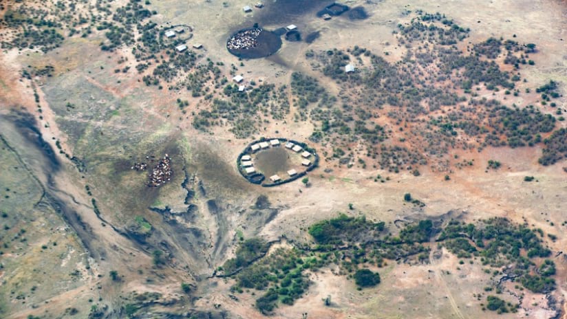
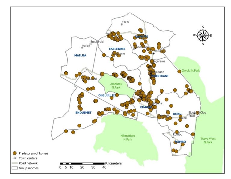
To tackle this issue humanely, the Born Free Foundation has reinforced cattle enclosures, known as bomas, with durable chain-link fencing to make them predator-proof. Traditional bomas made of acacia thorns are effective at containing livestock but fail to keep lions out. Using geographic information system (GIS) technology, Born Free maps areas adjacent to Kenya’s Amboseli National Park to identify where fortified bomas can best reduce conflicts. GIS-powered apps allow field officers to pinpoint regions needing upgrades and assess the success of existing reinforcements.
So far, 339 bomas have been fortified, safeguarding approximately 100,000 livestock and benefiting nearly 7,000 people. This effort has contributed to a steady increase in Amboseli’s lion population, from 50 individuals in 2008 to around 200 today. Additionally, strengthened bomas improve herders’ lives, allowing men who previously stayed awake at night to protect livestock to explore other income-generating activities.
Born Free’s conservation team works closely with indigenous communities, including the Maasai, using GIS smart maps to track conflict hotspots, plan interventions, and conduct community outreach. This technology helps identify schools and villages for awareness campaigns on peaceful coexistence with lions.
Expanding the Boma Solution
Nighttime lion attacks on livestock can devastate Maasai herders economically, often leading to retaliatory killings of lions, which are already vulnerable. Born Free collaborates with communities to install chain-link bomas, requiring applicants to cover 25% of the cost while the foundation subsidizes the remaining 75%. Their technical team constructs the bomas and trains locals on maintenance.
Related: A Holistic Approach to Protecting Africa’s Wildlife
The Maasai also report lion sightings to help other herders avoid high-risk areas. Born Free promotes better herding practices, such as employing multiple adult herders instead of children. Mobile GIS apps provide real-time updates on boma coverage and conflicts, helping identify unprotected regions and understand the reasons behind varying conflict levels.
Protecting Lions in Meru National Park
Born Free’s mission extends to Meru National Park, the historic home of Elsa, the lioness celebrated in the book and movie Born Free. GIS tools track both collared and uncollared lions, monitor habitat use, and study threats to lion populations. Vegetation surveys and environmental data collection using GIS contribute to conservation management plans that ensure sustainable solutions for wildlife.
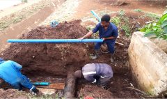
GIS also helps the foundation tackle water management issues in Meru National Park. By mapping water diversions, Born Free educates communities on the impact of damming rivers and promotes alternative, sustainable practices to preserve water for wildlife.
Almost half of Africa’s lions have been lost in the last 20 years, with Kenya’s population dropping from 10,000 in the 1980s to around 2,000 today. By combining GIS technology with community collaboration, Born Free aims to stabilize and grow lion populations while fostering peaceful coexistence between humans and wildlife.
Disclaimer: This article was originally written by David Gadsden.
Discover more inspiring case studies on how GIS is transforming conservation efforts by visiting Esri EA blog.

