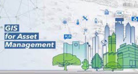
Harnessing the Power of ArcGIS for Efficient Asset Management
Effective asset management is crucial for businesses and organizations of all …
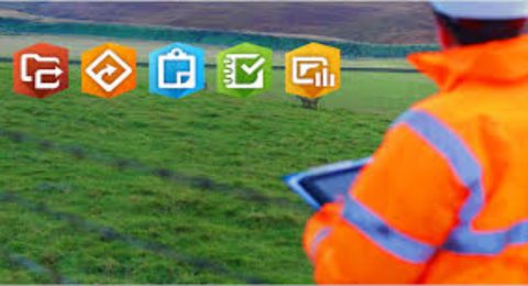
Maximizing Efficiency with ArcGIS Field Apps and Mobile Data Collection
In today’s fast-paced world, organizations across various industries are recognizing the …

Geospatial Networking at its Finest
Monday 10 July 2023, Esri Eastern Africa, the region’s leading geospatial …
Getting Started with ArcGIS: A Beginner’s Guide to Mastering Geospatial Analysis
Geospatial analysis is a powerful tool that allows us to understand …

Harnessing the Power of Remote Sensing with ArcGIS
Remote sensing, the science of acquiring information about the Earth's surface …

Advanced Techniques Every GIS Professional Should Know
Geographic Information System (GIS) technology has transformed the way we analyze …

ArcGIS for Forest Monitoring: An Essential Tool for Environmental Conservation
Forests are vital ecosystems that provide numerous benefits, including carbon sequestration, …
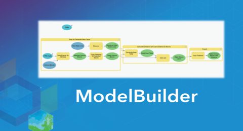
Exploring ArcGIS ModelBuilder for GIS Professionals
Spatial modeling plays a crucial role in Geographic Information Systems (GIS) …
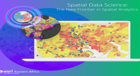
Spatial Data Science: Extract Insights and Make Data-Driven Decisions
In today’s digital age, vast amounts of data are being generated …

Top Ten Reasons Why Professionals Should Get GIS Training
In today's data-driven world, professionals across a wide range of industries …

Helping farmers see the bigger picture.
Any farmer knows that their success or failure can hinge on …

Harness the power of spatial analytics
Imagine a world in which companies could improve their execution processes …