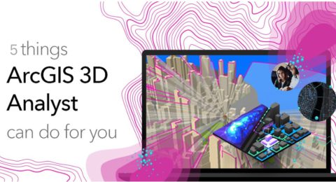
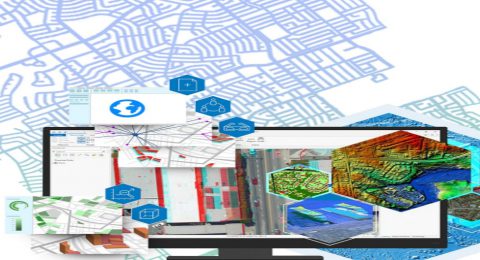
Five Powerful Capabilities of ArcGIS 3D Analyst
ArcGIS 3D Analyst provides a suite of tools to create and …
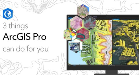
3 Things ArcGIS Pro Can Do for You
ArcGIS Pro has a modern and intuitive user interface that allows …
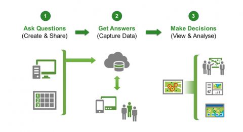
Simplify your data collection efforts with ArcGIS Survey 123
ArcGIS Survey 123 is a fast and easy way to gather …
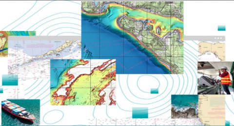
ArcGIS Maritime Extension – making marine data accessible!
ArcGIS Maritime Extension provides SQL capabilities, as well as topological tools …
ArcGIS Geostatistical Analyst Extension
ArcGIS Geostatistical Analyst lets you make accurate predictions about an area …
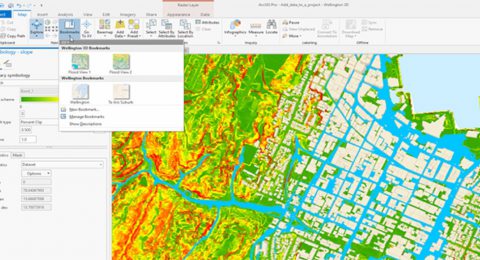
Raster Analysis Using ArcGIS Pro
With this software, you may run custom algorithms on big collections …
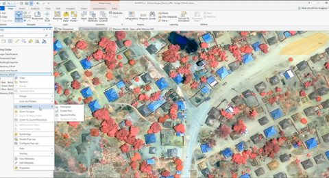
Imagery Analysis in ArcGIS Pro
Imagery analysis is a 3-day course that not only focuses on …

Leveraging GIS for Sustainable African Cities
Like the rest of the world, the rapid growth in population …

Simplified Learning with ArcGIS Story Maps
With ArcGIS Story Maps, you can combine texts, photos, and videos …

3 Things ArcGIS Drone2Map can do for you
Today, the traditional field data gathering, and imagery-production workflows are being …