Esri Showcases GIS Solutions at RIC 2024 Conference in Nairobi
September 27, 2024 2024-09-27 13:22Esri Showcases GIS Solutions at RIC 2024 Conference in Nairobi
Esri Showcases GIS Solutions at RIC 2024 Conference in Nairobi
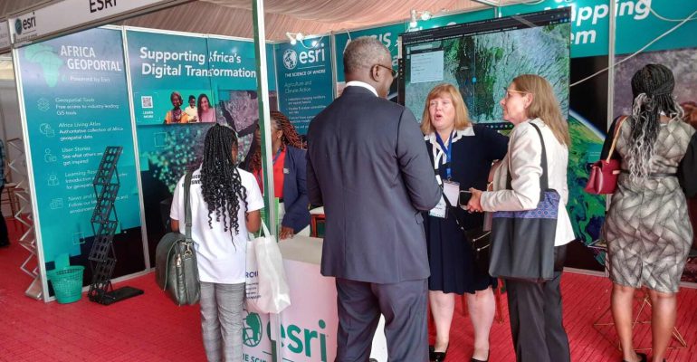
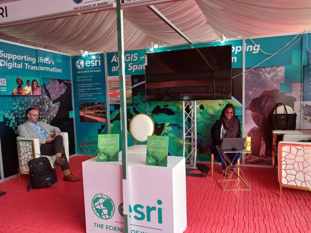
The Regional Centre for Mapping of Resources for Development (RCMRD) International Conference 2024 (RIC 2024), held from August 13 to 15, 2024, in Nairobi, Kenya, brought together over 1,500 delegates under the theme “EARTH: Our Only Home.” The event attracted ministers, government officials, scientists, and researchers to discuss sustainable strategies for protecting the planet. Esri made a significant contribution to the conference with a series of technical sessions, keynote speeches, and thematic presentations that highlighted the role of GIS in addressing environmental and humanitarian challenges.
Related: Empowering Communities Through GIS #RIC2023
Day 1: Exploring Earth Observation for Risk Reduction
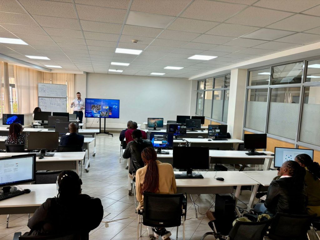
On the opening day, Esri Inc. participated in a technical session titled “EO for Risk Reduction,” led by Olivier Cottray, Director of Humanitarian Solutions at Esri Inc., and Lorein Innes, Esri Inc.’s Business Development Manager for Africa. The session focused on how Earth Observation (EO) technologies, integrated with GIS, can mitigate risks in humanitarian contexts. Esri showcased tools designed for disaster risk management, emphasizing the critical role of EO data in building resilience in vulnerable communities.
Day 2: Linking Science and Policy for Environmental Management
On the second day, Lorein Innes delivered a keynote address during the plenary session, which centered on the theme “Our Home: Policy Formulation and Science Policy Linkages.” Innes emphasized the importance of merging scientific research with policy-making to address global environmental issues. She explained how GIS facilitates evidence-based decision-making, helping policymakers design strategies grounded in spatial data and research to tackle environmental challenges.
Day 3: Leveraging GIS for Biodiversity and Blue Economy
The third day featured David Gadsden, Director of Conservation Solutions at Esri USA, presenting during a session on “Biodiversity and Blue Economy.” Gadsden highlighted how GIS plays a crucial role in the conservation of marine and terrestrial ecosystems. He demonstrated how geospatial technology helps monitor and manage protected areas, showing real-world examples where GIS tools have been key to preserving biodiversity and promoting sustainable practices in the blue economy.
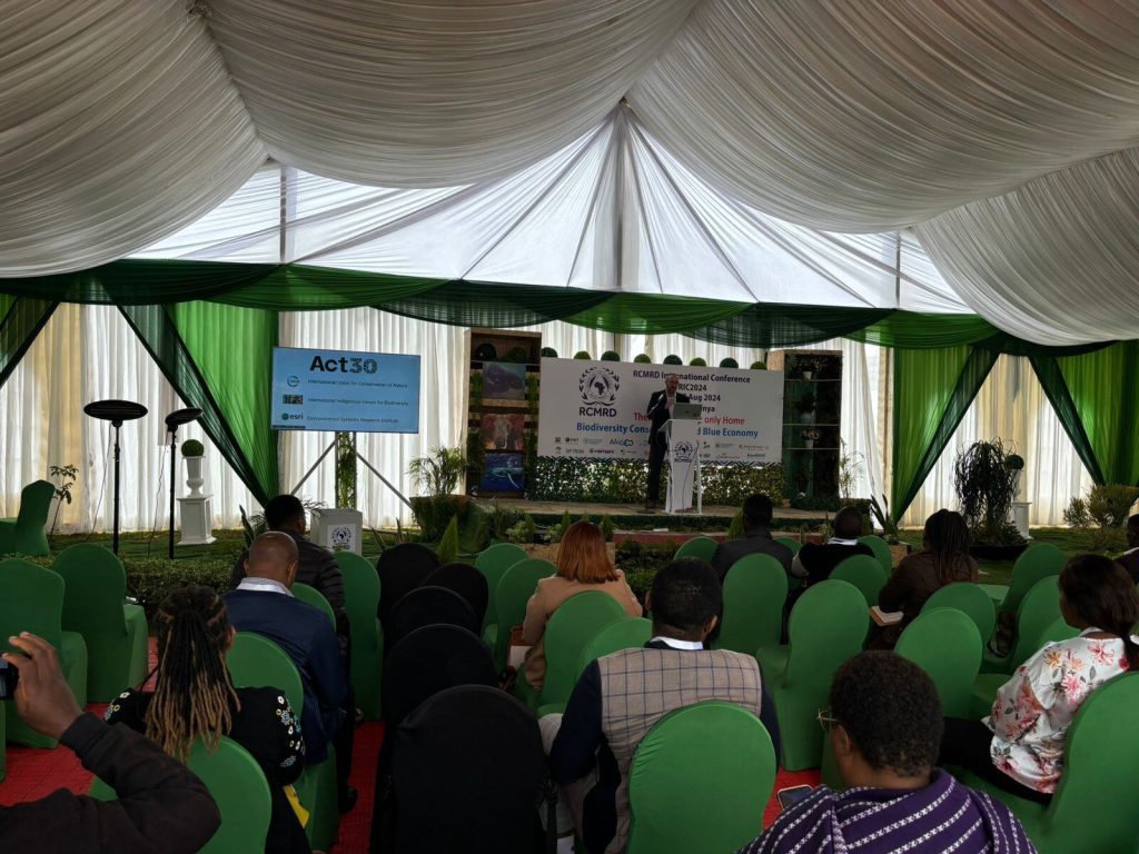
Day 4: Addressing Africa’s Water Challenges with GIS
Esri’s participation on the final day included a session titled “Too Much or Too Little: Geospatial Infrastructure, Technology, and Data as an Enabler to Support Africa’s Water Challenge,” featuring Ms. Lorein Innes. She discussed how GIS can help manage both water scarcity and flooding across Africa. Innes illustrated how spatial analysis and geospatial infrastructure can provide data-driven solutions for sustainable water resource management, helping governments plan and manage infrastructure more effectively.
Esri’s Commitment to Sustainability
Throughout the RIC 2024 conference, Esri demonstrated its dedication to leveraging GIS for sustainable development. By showcasing the practical applications of geospatial technology in risk management, policy planning, conservation, and water resource management, Esri reinforced its role as a leader in using GIS to foster a more resilient and sustainable future. Through its contributions, Esri highlighted how GIS can be a powerful tool in addressing some of the most pressing challenges facing East Africa and the world.
Visit our website today to discover the power of GIS in shaping a more resilient future! https://www.esriea.com/

