Exciting Updates in ArcGIS StoryMaps (April 2024)
April 30, 2024 2024-06-07 12:27Exciting Updates in ArcGIS StoryMaps (April 2024)
Exciting Updates in ArcGIS StoryMaps (April 2024)
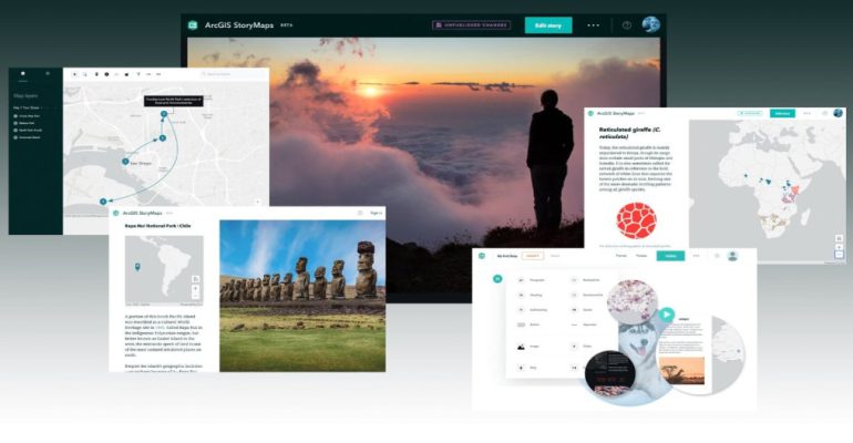
ArcGIS StoryMaps stands as the premier storytelling tool, allowing you to seamlessly transform your geographical insights into captivating interactive narratives that inform and inspire others. Whether elucidating complex subjects or sharing personal experiences, ArcGIS StoryMaps empowers users to craft engaging content effortlessly. Read on to explore the latest enhancements introduced this month.
Latest enhancements introduced this month
Here are some of the latest enhancements introduced this month:
Add an image gallery to a briefing
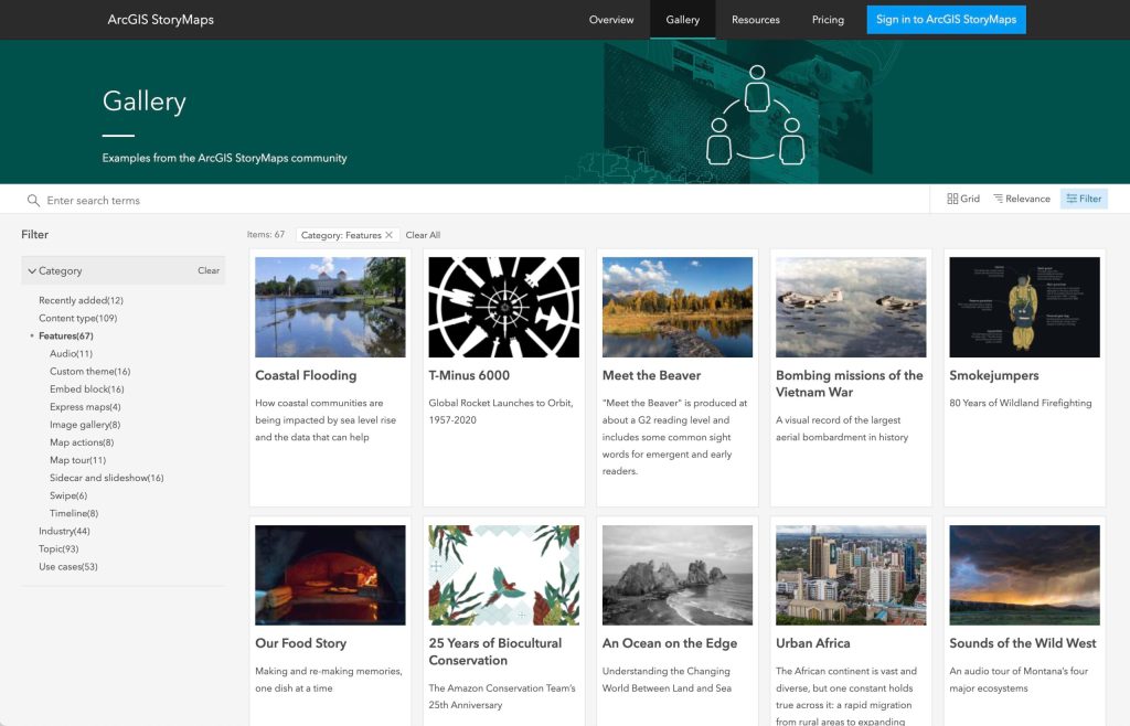
Now, embellishing your stories with captivating imagery is easier than ever. The addition of image galleries to briefing slides offers a dynamic way to showcase a mosaic of images within your narratives. This feature seamlessly integrates into various slide layouts, enhancing storytelling flexibility. Users can customize each gallery image to fit or fill the frame, ensuring optimal presentation aesthetics. Moreover, incorporating attribution and alternative text enhances image credit and accessibility. Image management within galleries mirrors the intuitive process in regular stories, allowing for effortless addition, removal, and rearrangement of images. Readers can interact with gallery images by clicking to expand them, enriching their storytelling experience.
Highlight features with pop-up display
Directing audience attention to specific map features is now simpler with the introduction of pop-up displays. By configuring map settings in the map designer, users can ensure designated pop-ups remain visible upon map loading. This feature, similar to classic storytelling templates, allows for strategic highlighting of map features, enriching narrative depth. Notably, pop-up display functionality currently supports feature layers, with potential for expansion to other layer types based on user feedback.
Easily access public content
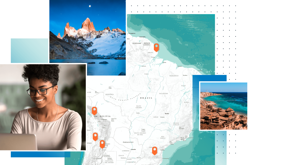
Seamlessly integrating external content into your stories is now facilitated through the inclusion of a Public Content tab in the item browser. This tab provides users with easy access to publicly shared maps created by individuals both within and outside their organization. Browsing, searching, and incorporating publicly available content into stories, briefings, and collections is now effortless. Users can search for specific items by title, keyword, or item ID, streamlining content discovery and integration.
Additional enhancements
In addition to the features, recent updates include:
- Integration of video elements to enhance map pop-ups, offering a more engaging and dynamic storytelling experience.
- Introduction of a new featured theme tailored for the upcoming 2024 Esri User Conference, available for exploration in the featured theme gallery.
For comprehensive details on all updates, refer to the release notes for this month.
Embrace the latest innovations in ArcGIS StoryMaps to elevate your storytelling endeavors and captivate audiences with immersive narratives that blend geographical insights with compelling visuals and engaging multimedia elements.
This article was first written by Owen Evans. View full story here

