Exploring the Latest Enhancements in ArcGIS Drone2Map (November 2023)
December 6, 2023 2023-12-06 9:09Exploring the Latest Enhancements in ArcGIS Drone2Map (November 2023)
Exploring the Latest Enhancements in ArcGIS Drone2Map (November 2023)
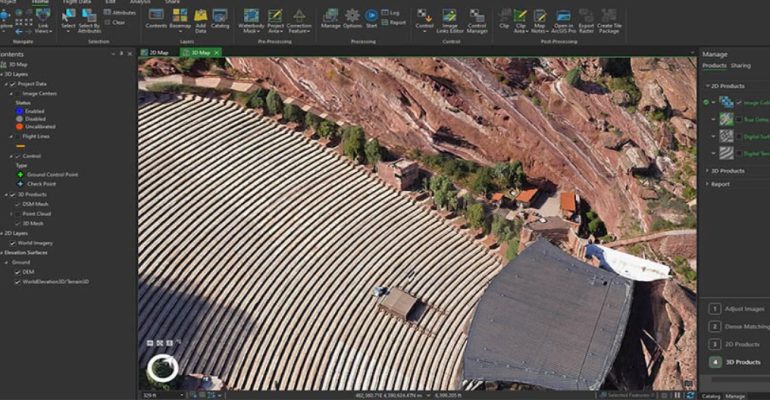
ArcGIS Drone2Map has recently unveiled its latest version, and it brings forth an array of exciting features and improvements. In this overview, we’ll delve into some of the key highlights of this release, offering a glimpse into the innovation that awaits. For a comprehensive list of all updates, please refer to our detailed help documentation.
Latest enhancements in ArcGIS Drone2Map
Here are the latest enhancements in ArcGIS Drone2Map:
1. New inspection workflow
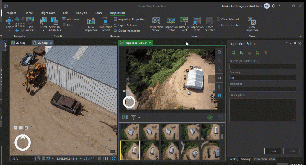
One of the standout features in this release is the introduction of a new inspection workflow. Recognizing the capability of drones to access challenging or hazardous locations, this workflow streamlines the inspection of assets across various industries. Users can now create an inspection workspace for any project and utilize the new workflow to efficiently review multiple images pertaining to an object or region of interest within the project area.
The 3D inspection capability allows users to mark points or polygons directly on source images, creating 3D features for each observation. A new feature class stores these inspection features, seamlessly overlaying on 3D objects and facilitating reference across all views of that location. The system generates inspection reports that present each feature alongside notes and snapshots captured during the inspection process. Additionally, users can attach snapshots to inspection features, enhancing the presentation of inspection layers when shared online.
2. New project page and updated resources
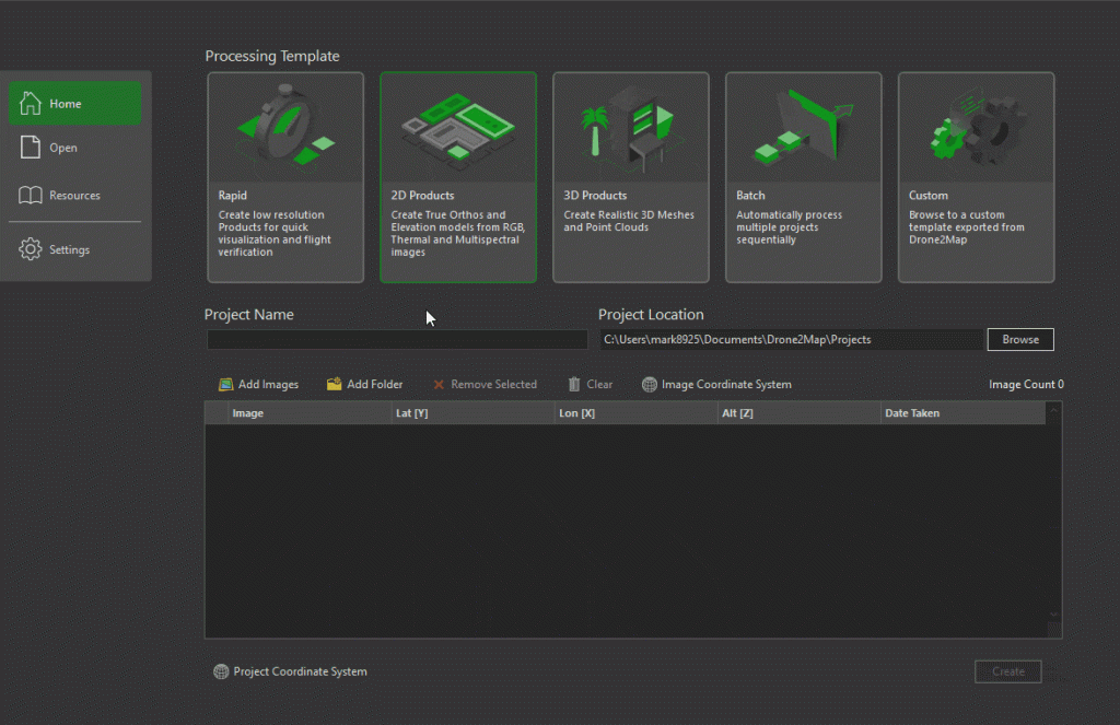
The New Project page has undergone a redesign aimed at simplifying project creation and emphasizing the variety of products users can generate. You can now initiate projects by defining the processing template and selecting a product type when applicable.
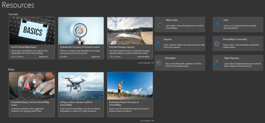
Complementing this, the revamped Resources page serves as a knowledge hub, offering tutorials, blogs, links to technical support, documentation, and the Drone2Map user community. Users can also subscribe to the Drone2Map newsletter to stay abreast of the latest developments.
3. Catalog datasets
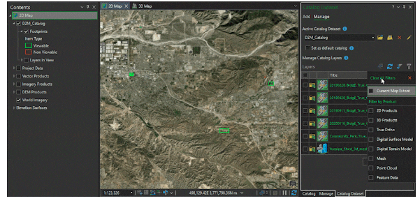
A groundbreaking addition to this release is the introduction of catalog datasets, providing a novel method for cataloging and referencing products created in Drone2Map. This feature enables users to collate products from multiple projects into a container stored in a file geodatabase, enhancing collaboration. Catalogs created in Drone2Map can seamlessly integrate with ArcGIS Pro, fostering a streamlined workflow for organizations managing multiple drone projects.
4. Enhancements
- Rolling Shutter Correction: We have incorporated a new setting for rolling shutter correction into the adjust options. This setting mitigates distortions caused by the rolling shutter effect, ensuring more accurate and visually appealing products.
- Enhanced Thermal Imagery Support: We have extended true ortho support to thermal imagery processing, with the default now set to a true nadir viewpoint.
For those eager to explore these enhancements or with inquiries and ideas, the Esri Community page is open for engagement. Experience the future of drone mapping with ArcGIS Drone2Map – unlocking possibilities and transforming the way we interact with geospatial data.
This article was first published by Reanne Barrette. Read full story here

