GIS for Transportation Planning and Traffic Management
June 21, 2024 2024-06-21 9:51GIS for Transportation Planning and Traffic Management
GIS for Transportation Planning and Traffic Management
In today’s fast-paced world, efficient transportation systems are vital for economic growth and urban development. Geographic Information Systems (GIS) have become indispensable tools in transportation planning and traffic management. By leveraging GIS technology, urban planners, transportation engineers, and traffic managers can analyze spatial data, make informed decisions, and create sustainable and efficient transportation networks. This blog explores the role of GIS in transportation planning and traffic management, highlighting how ArcGIS enhances these processes.
Related: Smarter Solutions for a Smarter Future
The importance of GIS in transportation planning
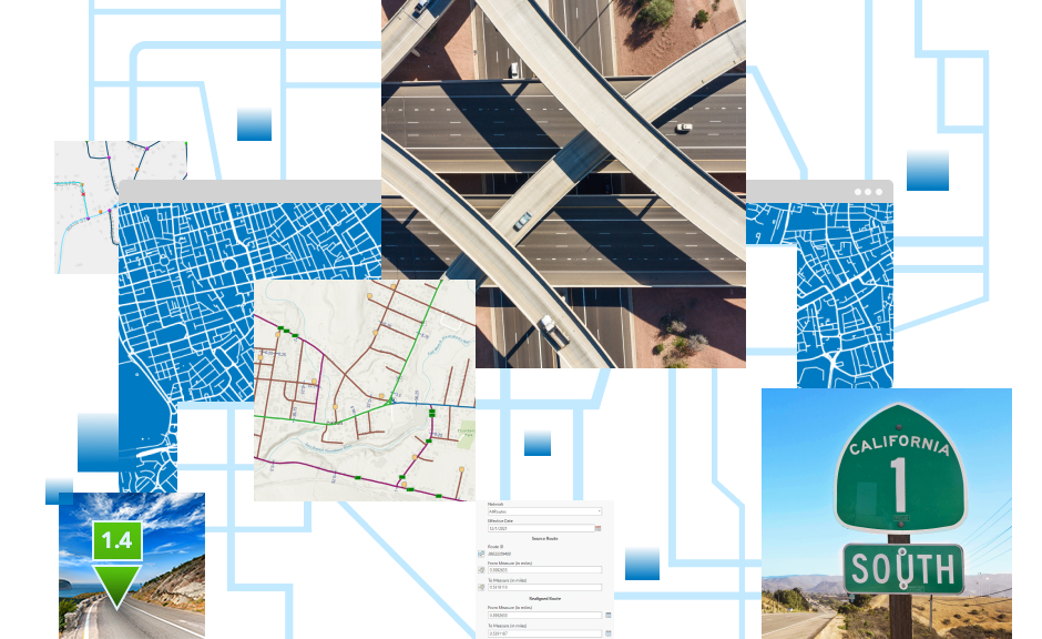
Transportation planning involves the development of strategies to improve the movement of people and goods within a region. It requires a comprehensive understanding of spatial patterns, land use, population dynamics, and infrastructure. GIS provides a powerful framework for integrating and analyzing these diverse datasets, enabling planners to:
- Visualize transportation networks: GIS allows for the creation of detailed maps that visualize roads, highways, railways, bike lanes, and pedestrian pathways. These maps help planners understand the current transportation infrastructure and identify areas for improvement.
- Analyze traffic patterns: By analyzing traffic data, GIS can reveal patterns of congestion, peak travel times, and high-accident locations. This information is crucial for developing strategies to alleviate traffic congestion and enhance road safety.
- Evaluate environmental impact: Transportation projects can have significant environmental impacts. GIS enables planners to assess these impacts by analyzing factors such as air quality, noise levels, and proximity to sensitive ecosystems. This ensures that transportation developments are sustainable and environmentally friendly.
- Optimize route planning: GIS tools can optimize route planning for public transit, emergency services, and logistics. By considering factors such as traffic conditions, road closures, and travel times, GIS helps in designing efficient routes that save time and resources.
Related: A Spatial Perspective for Resilient, Contemporary and Sustainable Infrastructure
Traffic management with GIS
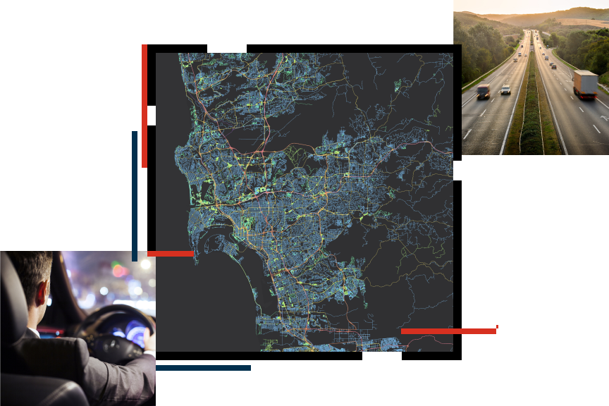
Effective traffic management is essential for ensuring smooth and safe transportation. GIS plays a crucial role in traffic management by providing real-time data analysis and visualization capabilities. Here’s how GIS contributes to traffic management:
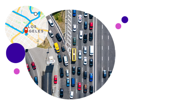
- Real-time traffic monitoring: GIS integrates data from various sources, including traffic cameras, sensors, and GPS devices, to provide real-time traffic monitoring. This allows traffic managers to quickly identify and respond to incidents, such as accidents or road blockages.
- Traffic flow analysis: GIS tools analyze traffic flow data to identify bottlenecks and areas with frequent congestion. This analysis helps in implementing traffic control measures, such as adjusting traffic signal timings or introducing congestion pricing.
- Emergency response planning: During emergencies, quick and efficient transportation is critical. GIS aids in emergency response planning by mapping out optimal routes for emergency vehicles, identifying potential hazards, and ensuring that critical infrastructure is accessible.
- Public transport management: GIS supports the management of public transport systems by tracking the movement of buses, trains, and other transit vehicles. It helps in optimizing schedules, managing routes, and providing real-time information to passengers.
ArcGIS: Enhancing Transportation Planning and Traffic Management
ArcGIS offers a wide range of tools and capabilities for transportation planning and traffic management. Here’s how ArcGIS enhances these processes:
- ArcGIS Pro: This powerful desktop application allows transportation planners to create detailed maps, perform spatial analysis, and generate insights. ArcGIS Pro supports 3D visualization, making it easier to understand complex transportation networks and infrastructure projects.
- ArcGIS Online: ArcGIS Online provides a cloud-based platform for storing, sharing, and analyzing geospatial data. It enables collaboration among stakeholders, allowing transportation planners and traffic managers to access and update data from anywhere.
- ArcGIS Dashboard: ArcGIS Dashboard offers a real-time operational view of transportation systems. Traffic managers can use dashboards to monitor traffic conditions, visualize data trends, and make data-driven decisions.
- ArcGIS Network Analyst: This extension provides advanced tools for network-based spatial analysis. It helps in solving complex transportation problems, such as finding the shortest path, determining service areas, and optimizing routes.
- ArcGIS Urban: ArcGIS Urban is a web-based tool that facilitates urban planning and design. It enables planners to visualize zoning changes, simulate development scenarios, and assess the impact of transportation projects on urban environments.
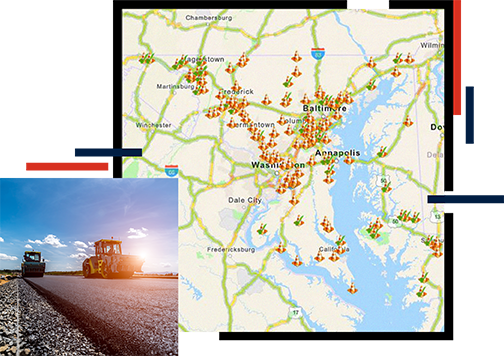
GIS technology is transforming transportation planning and traffic management by providing powerful tools for spatial analysis, visualization, and decision-making. Platforms like ArcGIS offer comprehensive solutions that enhance the efficiency, safety, and sustainability of transportation systems. As cities continue to grow and transportation demands increase, the integration of GIS in transportation planning and traffic management will become even more critical, ensuring that our transportation networks are well-equipped to meet future challenges.
Visit our online store to explore and purchase ArcGIS Products!


