How ArcGIS and Autodesk Are Transforming Construction Site Inspections
February 28, 2025 2025-03-13 8:06How ArcGIS and Autodesk Are Transforming Construction Site Inspections
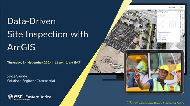
The construction industry is evolving rapidly, and digital transformation is playing a crucial role in improving efficiency, compliance, and project oversight. By integrating ArcGIS and Autodesk, construction authorities can enhance site inspections through data-driven workflows, ensuring seamless monitoring, compliance checks, and better resource allocation.
The Power of ArcGIS & Autodesk Integration
Construction authorities are tasked with project registration, compliance enforcement, and site inspections. However, traditional methods are often manual, time-consuming, and resource intensive. With ArcGIS and Autodesk, these challenges are addressed through real-time data collection, field-to-office workflows, and interactive dashboards.
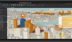
Autodesk solutions like Civil 3D, InfraWorks, and Revit integrate with ArcGIS Pro, ArcGIS Online, and ArcGIS Enterprise, enabling seamless design collaboration, geospatial analysis, and compliance tracking. This integration supports multiple data formats, including CAD, BIM, 3D models, and LiDAR data, ensuring a comprehensive digital workflow.
How GIS Enhances Construction Site Inspections
- Task Assignment & Fieldwork
- Inspectors receive real-time task notifications via ArcGIS Workforce.
- The system automatically records the location of the inspection site, ensuring accurate data collection.
- The field team logs entry and exit times, NCA permit details, and inspection type (due diligence or mandatory site inspection).
- Real-Time Data Collection & Compliance Checks
- The inspection form captures critical site details, such as:
✅ Presence of detailed signboards
✅ Availability of approved construction documents
✅ Presence of safety barricades and signage - Data is instantly submitted and visualized in an ArcGIS dashboard at the back office.
- The inspection form captures critical site details, such as:
- Live Monitoring & Reporting
- Dashboards display real-time insights, such as:
✅ Total number of inspections completed
✅ Breakdown of due diligence vs. mandatory inspections
✅ Compliance statistics for each site - The system helps prioritize high-risk projects, ensuring timely intervention and enforcement actions.
- Dashboards display real-time insights, such as:
- Field Crew & Workforce Management
- Supervisors track:
✅ Active field inspectors
✅ Assignments in progress
✅ Pending vs. completed inspections - This ensures efficient workforce allocation and optimized resource use.
- Supervisors track:
Key Benefits of ArcGIS & Autodesk Integration
✅ Improved Site Monitoring – Real-time tracking of construction progress.
✅ Enhanced Compliance & Reporting – Instant visibility of violations.
✅ Efficient Resource Allocation – Optimized workforce and logistics management.
✅ Seamless Data Sharing – Collaboration with relevant agencies.
✅ Cost & Time Savings – Automation eliminates manual paperwor
By leveraging ArcGIS and Autodesk, construction authorities can move from traditional site inspections to a fully digital, data-driven workflow. This not only enhances efficiency and compliance but also ensures sustainable urban development.
Want to see this workflow in action? Check out our full video on YouTube!