How ArcGIS Field Maps Can Revolutionize Field Data Collection
June 21, 2024 2024-06-21 18:38How ArcGIS Field Maps Can Revolutionize Field Data Collection
How ArcGIS Field Maps Can Revolutionize Field Data Collection
In the era of digital transformation, field data collection has seen significant advancements, making traditional methods obsolete. One of the most revolutionary tools in this space is ArcGIS Field Maps. This all-in-one app streamlines field activities, providing a robust platform for data collection, editing, and analysis. This blog explores how ArcGIS Field Maps can transform field data collection processes, enhancing efficiency, accuracy, and collaboration.
What is ArcGIS Field Maps?
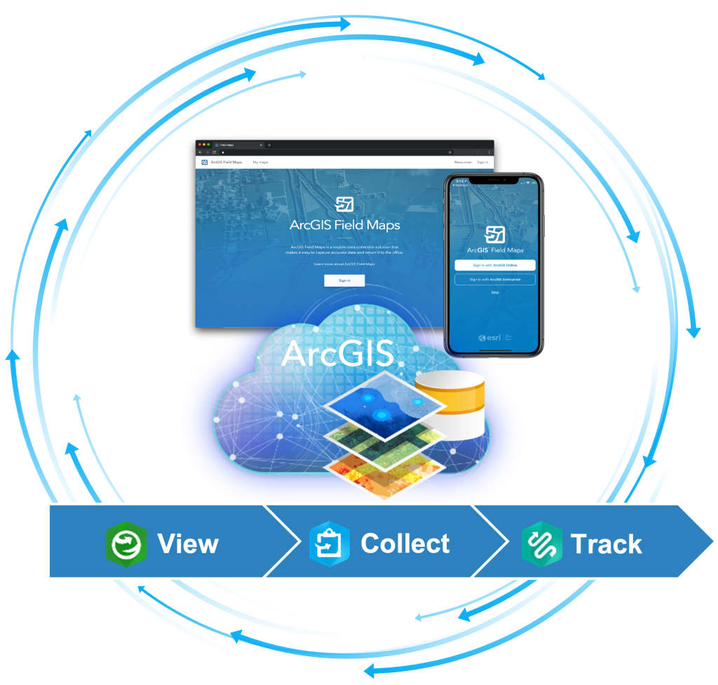
ArcGIS Field Maps is a comprehensive mobile app that integrates several key functionalities for field operations. It combines the capabilities of ArcGIS Collector, ArcGIS Explorer, and ArcGIS Tracker into a single, powerful application. Designed for both online and offline use, it ensures that field personnel can access and collect data regardless of connectivity.
Key Features of ArcGIS Field Maps
- Unified experience: By integrating the functionalities of multiple apps, ArcGIS Field Maps offers a seamless user experience. Users can collect data, track their movements, and view maps all within a single application.
- Offline data collection: Field operations often occur in areas with limited or no internet connectivity. ArcGIS Field Maps allows users to download maps and data for offline use, ensuring uninterrupted data collection.
- Real-time data syncing: When connectivity is available, data collected in the field is instantly synced with the central database. This real-time syncing ensures that data is up-to-date and accessible to all team members.
- Customizable forms: The app supports the creation of custom data entry forms. These forms can include various field types, such as text, numbers, dates, and photos, ensuring that all necessary data is captured accurately.
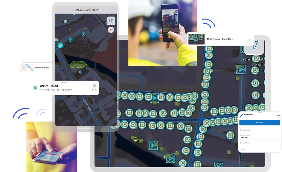
- Location tracking: ArcGIS Field Maps includes a robust tracking feature that records the location of field personnel in real-time. This capability is crucial for ensuring safety and optimizing field operations.
- High-accuracy GPS Support: The app supports high-accuracy GPS devices, ensuring that the collected data is precise. This feature is particularly important for applications requiring detailed spatial information, such as asset management and environmental monitoring.
How ArcGIS Field Maps Revolutionizes Field Data Collection
1. Enhanced efficiency
ArcGIS Field Maps streamlines the data collection process by providing a single platform for multiple tasks. Field personnel no longer need to switch between different apps for navigation, data collection, and tracking. This integration reduces the learning curve and increases productivity. Additionally, the app’s offline capabilities ensure that data collection is not hampered by connectivity issues, allowing for continuous workflow.
2. Improved data accuracy
The use of customizable forms ensures that data is collected consistently and accurately. The ability to include validation rules in these forms minimizes errors and ensures that only valid data is captured. Moreover, the support for high-accuracy GPS devices means that spatial data is precise, which is critical for applications such as infrastructure mapping and environmental monitoring.
3. Real-time collaboration
With real-time data syncing, field data is immediately available to all team members, regardless of their location. This instant access to up-to-date information facilitates better decision-making and enhances collaboration. For example, a field team can report a problem, and office-based analysts can start working on a solution immediately.
4. Increased safety
The location tracking feature of ArcGIS Field Maps is a game-changer for ensuring the safety of field personnel. Managers can monitor the real-time location of their teams, ensuring they are safe and within designated areas. In case of emergencies, this feature allows for quick response and coordination.
5. Cost savings
By reducing the need for multiple applications and devices, ArcGIS Field Maps can significantly lower operational costs. The efficiency gains from streamlined workflows and improved data accuracy also contribute to cost savings, as less time and resources are spent on correcting errors and duplicating efforts.

ArcGIS Field Maps is revolutionizing field data collection by providing a powerful, integrated platform that enhances efficiency, accuracy, and collaboration. Its robust features, including offline capabilities, real-time data syncing, and high-accuracy GPS support, make it an indispensable tool for a wide range of applications. As organizations continue to embrace digital transformation, ArcGIS Field Maps will play a crucial role in optimizing field operations and driving better outcomes.
For organizations looking to streamline their field data collection processes and leverage the power of GIS, ArcGIS Field Maps offers a comprehensive solution that meets the demands of modern field operations.

