Nairobi Innovate Hackathon 2024: A Showcase of Tech Talent and GIS Solutions
September 30, 2024 2024-09-30 13:48Nairobi Innovate Hackathon 2024: A Showcase of Tech Talent and GIS Solutions
Nairobi Innovate Hackathon 2024: A Showcase of Tech Talent and GIS Solutions
Nairobi, Kenya – August 21-23, 2024: The Nairobi Innovate Hackathon, part of the larger Innovate Nairobi Tech Week, took place from August 21 to 23, 2024. Organized by the Nairobi City County Government, the event brought together tech enthusiasts, developers, and students to explore innovative solutions to critical global challenges using Geographic Information System (GIS) technology. Esri Eastern Africa played a key role by hosting the “MApp Challenge,” which inspired participants to address complex issues like climate change, health, digital inclusion, and artificial intelligence (AI) through GIS-powered storytelling and solutions.
Day 1: GIS Training and Digital Storytelling
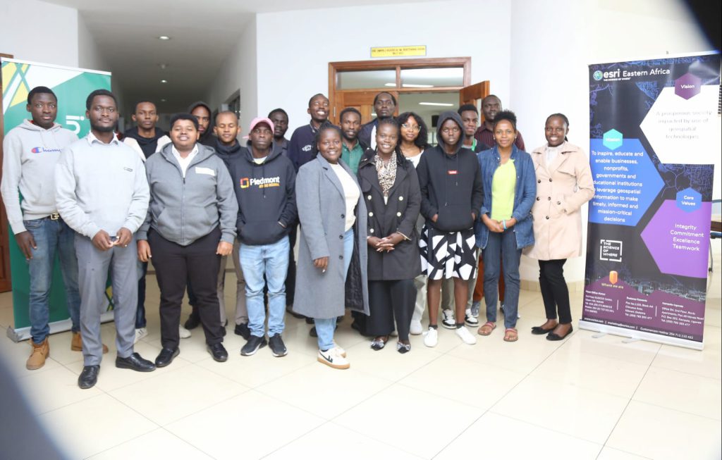
The first day began with hands-on training led by Esri Eastern Africa’s facilitators. Joyce Siundu introduced participants to the capabilities of ArcGIS Online, covering key tools like instant applications, data access via Living Atlas, and smart mapping techniques. A special session on ArcGIS StoryMaps, led by Latimar Amukohe, demonstrated how to craft engaging, interactive presentations. Participants were taught to integrate maps, images, and applications directly into their StoryMaps, a format that would be central to their hackathon submissions.

Walid Saidi followed with a deep dive into ArcGIS developer tools. Attendees learned how to use the ArcGIS API for JavaScript, ArcGIS API for Python, and ArcGIS Runtime SDKs to create advanced GIS applications, offering powerful solutions for challenges in health, AI, and climate.
Day 2: Solution Development
With their newly acquired skills, participants got to work developing their solutions on Day 2. Using the free ArcGIS Online licenses provided by Esri, they created applications that would be submitted in StoryMap format. By the end of the day, all entries were submitted for review, highlighting the diverse and creative ways GIS could be used to address real-world problems.


Day 3: Presentations and Judging
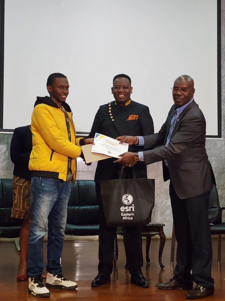
The final day saw participants presenting their solutions to a panel of four judges, including representatives from Green Wheels Africa, Power Learn Project, and Nairobi County. The projects were evaluated on key criteria, such as alignment with the themes, technical difficulty, creativity, design, and potential for scaling. Solutions ranged from AI-driven mapping tools to digital inclusion initiatives, all showcasing the transformative power of GIS.
Conclusion and Next Steps
The Nairobi Innovate Hackathon concluded with the announcement of winners and a reflection on the impactful work achieved during the event. Esri Eastern Africa’s facilitators provided valuable insights into the next steps for participants, encouraging them to continue developing their solutions and apply the lessons learned to real-world applications. The hackathon not only fostered innovation but also strengthened the role of GIS in tackling global challenges.
For more information on future events and GIS resources, visit Esri Eastern Africa.

