Tacare: Community Mapping Sparks a Global Conservation Movement
November 15, 2024 2024-11-15 14:40Tacare: Community Mapping Sparks a Global Conservation Movement
Tacare: Community Mapping Sparks a Global Conservation Movement
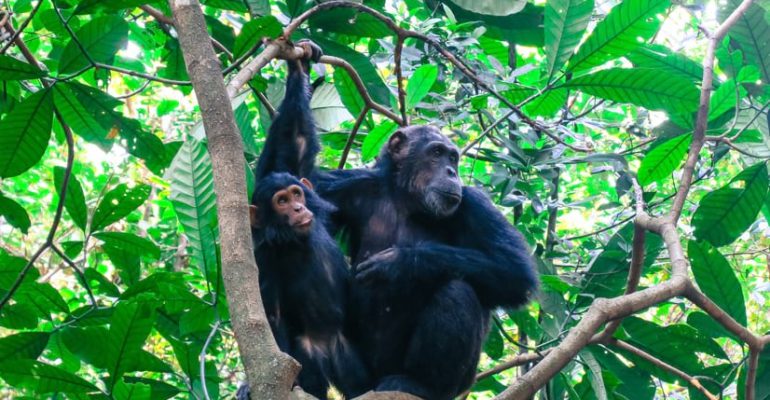
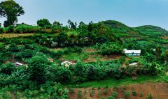
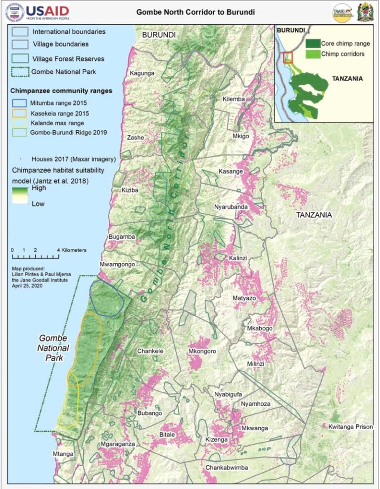
In the late 1980s, Jane Goodall observed a stark contrast between Tanzania’s Gombe National Park and the surrounding land. While the park remained lush, it was encircled by deforested hills and agricultural settlements. Local communities had overexploited resources, cutting trees for charcoal and farming infertile land. Without habitat corridors, Gombe’s chimpanzees faced isolation, threatening their survival. Goodall realized that conservation efforts needed to focus on the people living near wildlife habitats.
Related: Born Free Uses Smart Maps to Protect Lions and Resolve Human-Wildlife Conflicts
Tacare: A People-Centered Conservation Model
In 1994, with support from the European Union, the Jane Goodall Institute (JGI) launched the Tacare program. Initially focused on villages near Lake Tanganyika, Tacare aimed to engage local communities as conservation leaders. The program’s approach—engage, listen, understand, act, and empower—became a model for sustainable development across Africa.
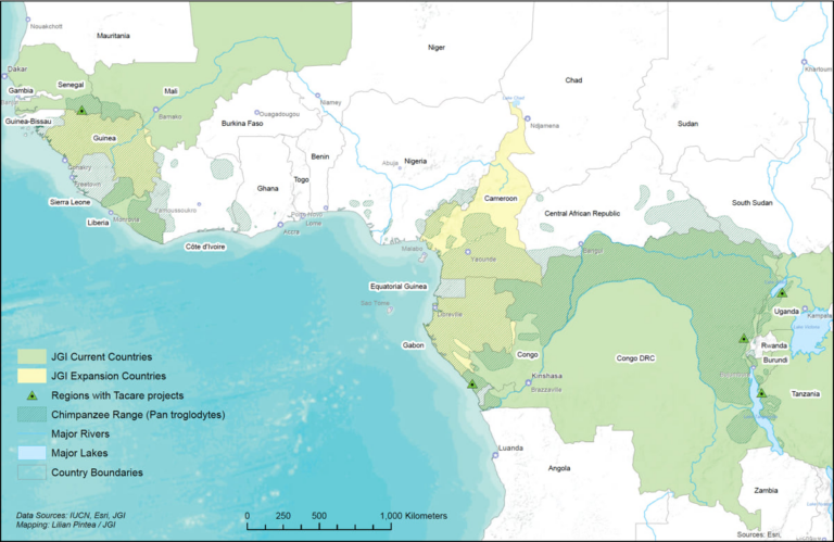
Nearly three decades later, Tacare has impacted over 100 communities in Tanzania and inspired similar initiatives in countries like Uganda, Guinea, and the Democratic Republic of the Congo. A critical tool in this success is geographic information system (GIS) technology, which helps visualize and manage conservation efforts.
Mapping Conservation Challenges
In the early 2000s, JGI incorporated GIS into its conservation strategy. By analyzing satellite imagery, JGI identified deforestation patterns and their impact on communities and wildlife. For example, maps revealed how deforestation near Gombe led to erosion, landslides, and habitat loss. These maps allowed Tacare teams to show communities the long-term consequences of environmental degradation.
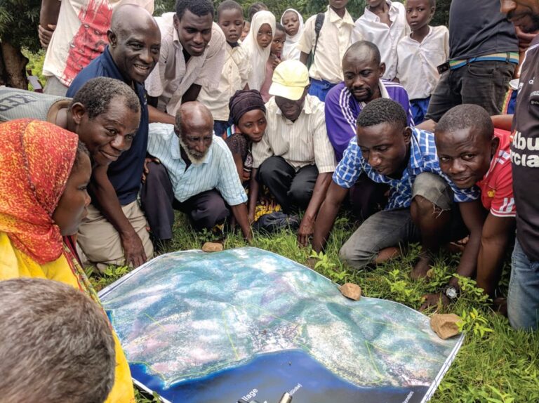
Instead of dictating solutions, JGI used maps to facilitate dialogue. Community members annotated large satellite maps, identifying significant features like farms, water sources, and sacred sites. This process fostered collaboration and trust, enabling locals to actively participate in conservation planning.
Related: Real-Time Ecological Monitoring Safeguards Kenya’s Endangered Rhinos
Empowering Communities with Technology
Tacare’s participatory approach extends to training locals in GIS and mobile mapping tools. Using smartphones and apps like ArcGIS Survey123, community members monitor forests, track land use, and contribute to data collection. These efforts ensure that conservation plans reflect both local knowledge and scientific insights.
Additionally, Tacare incorporates sustainable livelihood programs, such as beekeeping and growing medicinal plants, to provide economic alternatives that reduce environmental strain. Former poachers, for instance, have been integrated into forest monitoring teams, creating a direct connection between conservation and income generation.
Related: A Holistic Approach to Protecting Africa’s Wildlife
A Proven Model for Global Impact
Tacare demonstrates that conservation succeeds when communities are central to decision-making. By fostering local ownership, the program has achieved long-term sustainability. Even when setbacks occur, the relationships built through Tacare encourage communities to continue supporting conservation efforts.
Jane Goodall regards Tacare as a beacon of hope, describing it as “the very embodiment of hope for the future of our planet.” The program’s success proves that by combining science, technology, and community empowerment, conservation can address the intertwined challenges of human and environmental survival.
Disclaimer: This article was originally written by David Gadsden View full article here: https://www.esri.com/about/newsroom/blog/goodall-tacare-human-wildlife-relationship/
Join the movement to empower communities and protect wildlife by exploring the transformative impact of Tacare today.

