Top ArcGIS Training Resources to Boost Your Skills in 2024
August 29, 2024 2024-08-29 14:01Top ArcGIS Training Resources to Boost Your Skills in 2024
Top ArcGIS Training Resources to Boost Your Skills in 2024
In the rapidly evolving field of Geographic Information Systems (GIS), staying up-to-date with the latest tools, techniques, and best practices is crucial. Whether you’re a seasoned GIS professional or just starting your journey, continuous learning is key to maximizing the capabilities of ArcGIS and advancing your career. Fortunately, Esri offers a wide range of training resources designed to help you deepen your expertise and stay current with the latest developments in GIS.
This blog post highlights the top ArcGIS training resources available in 2024, focusing on Esri’s MOOCs, live training seminars, and other valuable learning opportunities that can help you boost your skills.
1. Esri MOOCs: Learn at Your Own Pace
Massive Open Online Courses (MOOCs) are an excellent way to gain in-depth knowledge of specific ArcGIS topics. Esri offers a variety of MOOCs that are free and accessible to anyone interested in learning more about GIS and ArcGIS. These courses are designed to be engaging and interactive, providing hands-on experience with real-world GIS applications.
Top Esri MOOCs for 2024:
- “Going Places with Spatial Analysis”: This MOOC is perfect for those looking to enhance their spatial analysis skills. Over the course of six weeks, you’ll learn how to apply spatial analysis techniques to real-world scenarios using ArcGIS Online. The course covers essential concepts such as site selection, spatial relationships, and predictive modeling, making it ideal for anyone working in urban planning, environmental management, or business analytics.
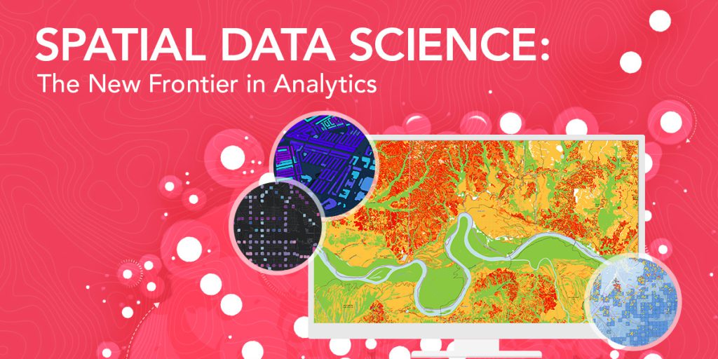
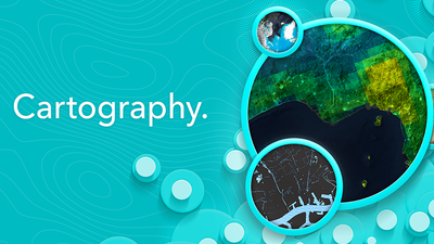
- “Cartography.”: This course focuses on the art and science of map-making. If you want to improve your cartographic skills and create more compelling, informative maps, this MOOC is for you. It covers the principles of effective map design, including color theory, symbology, and labeling. By the end of the course, you’ll have the skills to produce beautiful, informative maps that communicate complex information effectively.
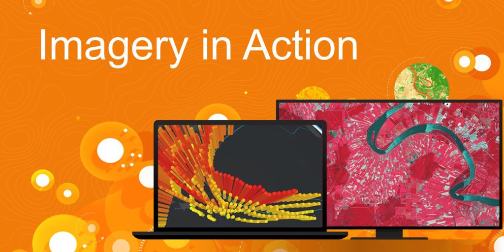
- “Imagery in Action.”: This MOOC explores the use of satellite imagery and remote sensing data in ArcGIS. Over four weeks, you’ll learn how to work with various types of imagery, analyze it, and apply it to real-world challenges such as disaster response, environmental monitoring, and land-use planning. This course is particularly valuable for professionals in environmental science, agriculture, and urban planning.
- “Do-It-Yourself Geo Apps.”: If you’re interested in building your own GIS applications, this course will guide you through the process of creating web and mobile apps using ArcGIS technology. You’ll learn how to configure and deploy custom apps without the need for extensive coding, making it an excellent resource for GIS professionals who want to expand their technical skills.

Esri MOOCs are an excellent way to build your skills at your own pace, with the flexibility to fit learning into your schedule. Plus, you’ll earn a certificate of completion that you can add to your professional portfolio.
2. Esri Academy: Live Training Seminars and Courses
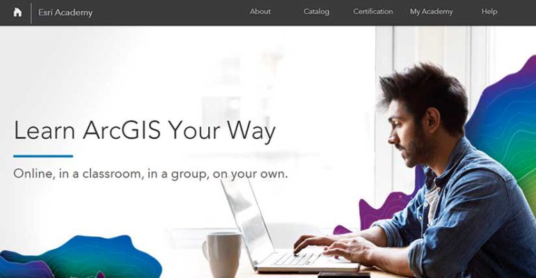
For those who prefer a more structured and interactive learning environment, the Esri Academy offers a wealth of live training seminars and instructor-led courses. These training sessions cover a broad range of topics, from foundational GIS skills to advanced analysis techniques, and are taught by experienced Esri instructors.
Live Training Seminars:
Esri’s live training seminars are short, focused sessions that cover specific ArcGIS topics. These seminars are perfect for busy professionals who want to stay updated on the latest tools and features without committing to a long-term course.
- “What’s New in ArcGIS Pro”: This seminar provides an overview of the latest updates and features in ArcGIS Pro. It’s ideal for users who want to stay current with the latest tools and enhancements in Esri’s flagship desktop GIS software.
- “Introduction to ArcGIS Field Maps”: Learn how to use ArcGIS Field Maps, Esri’s all-in-one app for field data collection and management. This seminar covers the basics of configuring maps for field use, collecting data, and syncing it with your organization’s GIS.
- “Managing Data in ArcGIS Online”: This seminar is geared toward users who want to learn how to effectively manage and share data in ArcGIS Online. Topics include organizing data, setting permissions, and best practices for data management.
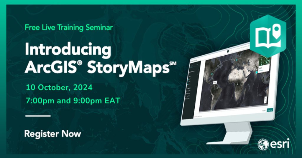
Register here: https://t.co/v3XfIQhMMs
These live training seminars are typically about an hour long and include a Q&A session where you can interact with the instructors and get answers to your specific questions. They’re also recorded, so if you can’t attend the live session, you can watch the recording at your convenience.
Instructor-Led Courses:
For a more immersive learning experience, consider enrolling in an instructor-led course through the Esri Academy. These courses are available both online and in-person and cover a wide range of topics, from introductory GIS concepts to advanced spatial analysis and application development.

- “ArcGIS Pro: Essential Workflows”: This comprehensive course is perfect for those new to ArcGIS Pro or looking to transition from ArcMap. It covers the fundamental workflows you need to get started with ArcGIS Pro, including data visualization, spatial analysis, and map production.
- “Python for ArcGIS: Introduction to Geoprocessing Scripts”: For those interested in automating GIS tasks, this course teaches the basics of Python scripting in ArcGIS. You’ll learn how to write scripts that automate repetitive tasks, streamline workflows, and extend the capabilities of ArcGIS.
- “Advanced Analysis with ArcGIS Pro”: This course is designed for experienced GIS users who want to take their analysis skills to the next level. You’ll learn advanced techniques for spatial and statistical analysis, including working with 3D data, performing network analysis, and conducting predictive modeling.
Instructor-led courses offer the benefit of direct interaction with experienced instructors, who can provide personalized guidance and feedback. These courses also include hands-on exercises that allow you to apply what you’ve learned in a practical context.
3. Esri Press: Books and Publications
For those who prefer learning through reading, Esri Press offers a wide range of books and publications that cover all aspects of GIS and ArcGIS. Whether you’re looking for a deep dive into a specific topic or a comprehensive guide to ArcGIS software, Esri Press has resources that can help.
Recommended Titles for 2024:
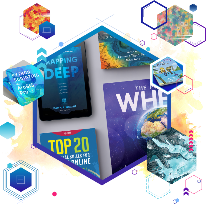
- “Getting to Know ArcGIS Pro”: This book is an excellent resource for beginners, providing a step-by-step introduction to ArcGIS Pro. It covers everything from basic map creation to more advanced topics like geoprocessing and 3D visualization.
- “Python Scripting for ArcGIS Pro”: For those interested in automating tasks and customizing ArcGIS, this book offers a detailed introduction to Python scripting in ArcGIS Pro. It includes practical examples and exercises that will help you develop your scripting skills.
- “Designing Better Maps: A Guide for GIS Users”: This book is a must-read for anyone interested in cartography. It covers the principles of effective map design and provides practical tips for creating maps that are both visually appealing and informative.
- “The ArcGIS Book: 10 Big Ideas about Applying The Science of Where”: This book explores the key concepts behind GIS and how they can be applied to solve real-world problems. It’s a great resource for understanding the broader context of GIS and how it can be used in various industries.
Esri Press books are available in both print and digital formats, making it easy to access the information you need, wherever you are.
4. Esri Community: Learn from Your Peers
In addition to formal training resources, the Esri Community is an invaluable resource for learning from your peers. The Esri Community is a platform where GIS professionals, developers, and educators can connect, share knowledge, and collaborate on projects.
Key Features of Esri Community:
- Discussion Forums: Participate in discussions on a wide range of topics, from technical troubleshooting to best practices in GIS. The forums are moderated by Esri staff and experienced community members, ensuring that you get accurate and helpful answers to your questions.
- User Blogs and Articles: Read blog posts and articles written by other GIS professionals. These posts often include practical tips, tutorials, and case studies that can help you learn new skills or solve specific challenges.
- Webinars and Events: Stay informed about upcoming webinars and events hosted by Esri and community members. These events are a great way to learn about the latest trends in GIS, see live demonstrations of new tools, and connect with other professionals in the field.
Engaging with the Esri Community is a great way to supplement your formal training and stay connected with the broader GIS community.
Getting Started with Esri Community
5. Esri Virtual Campus: Self-Paced Courses
If you prefer self-paced learning, the Esri Virtual Campus offers a wide range of online courses that you can complete at your own pace. These courses cover a variety of topics, from basic GIS concepts to advanced analysis techniques, and are designed to fit into your busy schedule.
Popular Self-Paced Courses:
- “Introduction to GIS Using ArcGIS”: This course is perfect for beginners who want to learn the fundamentals of GIS. It covers the basics of GIS concepts, data management, and map creation using ArcGIS.
- “Spatial Analysis Using ArcGIS Pro”: For those looking to deepen their analytical skills, this course offers a comprehensive introduction to spatial analysis techniques using ArcGIS Pro. Topics include overlay analysis, proximity analysis, and statistical analysis.
- “ArcGIS Online Basics”: Learn how to effectively use ArcGIS Online for creating and sharing maps, analyzing data, and collaborating with others. This course is ideal for users who are new to ArcGIS Online or looking to expand their skills.
Self-paced courses on the Esri Virtual Campus offer the flexibility to learn at your own pace
Ready to take your GIS skills to the next level in 2024? We’ve got the tools you need to succeed. Sign up today and start mastering ArcGIS! https://www.esriea.com/training-capacity-building/

