Top GIS Trends to Watch in 2024
June 7, 2024 2024-06-07 12:48Top GIS Trends to Watch in 2024
Top GIS Trends to Watch in 2024
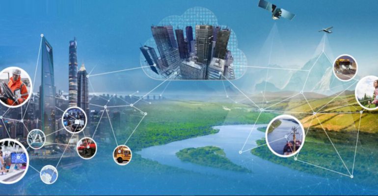
Geographic Information Systems (GIS) continue to evolve, offering innovative solutions and powerful tools that drive advancements across various industries. As we progress through 2024, several emerging trends are shaping the future of GIS.
Trends to watch out for this year
Here’s a look at the top GIS trends to watch this year:
Integration of AI and machine learning
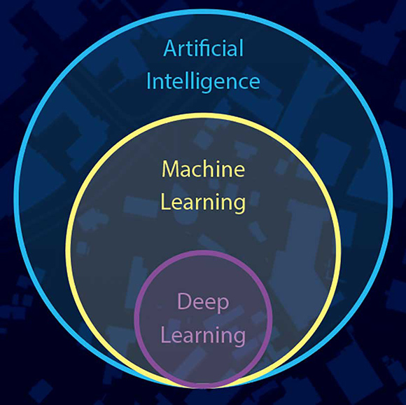
Artificial Intelligence (AI) and Machine Learning (ML) are transforming how we analyze geospatial data. By integrating AI and ML algorithms with GIS, professionals can uncover patterns, predict trends, and automate complex processes. In 2024, expect to see increased adoption of AI-driven GIS applications in fields such as urban planning, environmental monitoring, and disaster management.
Real-time data with IoT and GIS
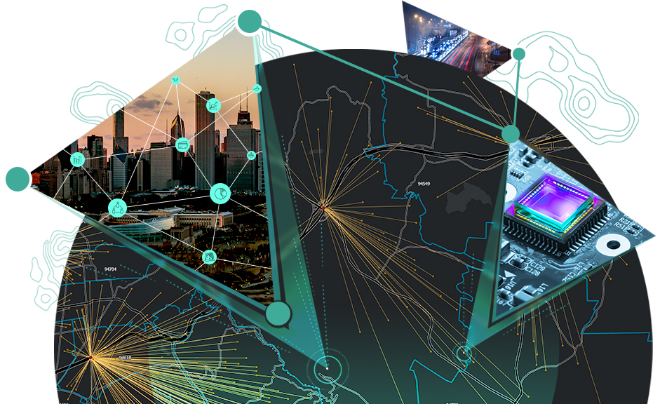
The Internet of Things (IoT) is revolutionizing GIS by providing real-time data from interconnected devices. This synergy enables the creation of dynamic maps that reflect real-time changes in the environment, infrastructure, and more. Applications range from smart city initiatives to real-time traffic management and environmental monitoring, offering unprecedented insights and responsiveness.
Advancement in remote sensing and satellite imagery
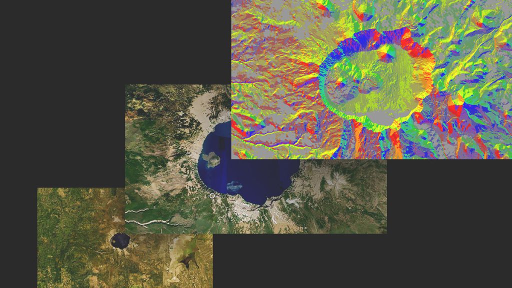
Remote sensing technology is advancing rapidly, with higher resolution satellite imagery, improved sensors, and more frequent data collection. In 2024, GIS professionals can leverage these advancements to enhance their analysis and decision-making processes. This trend is particularly beneficial for agriculture, forestry, and disaster response, where timely and accurate data is crucial.
3D GIS and visualization
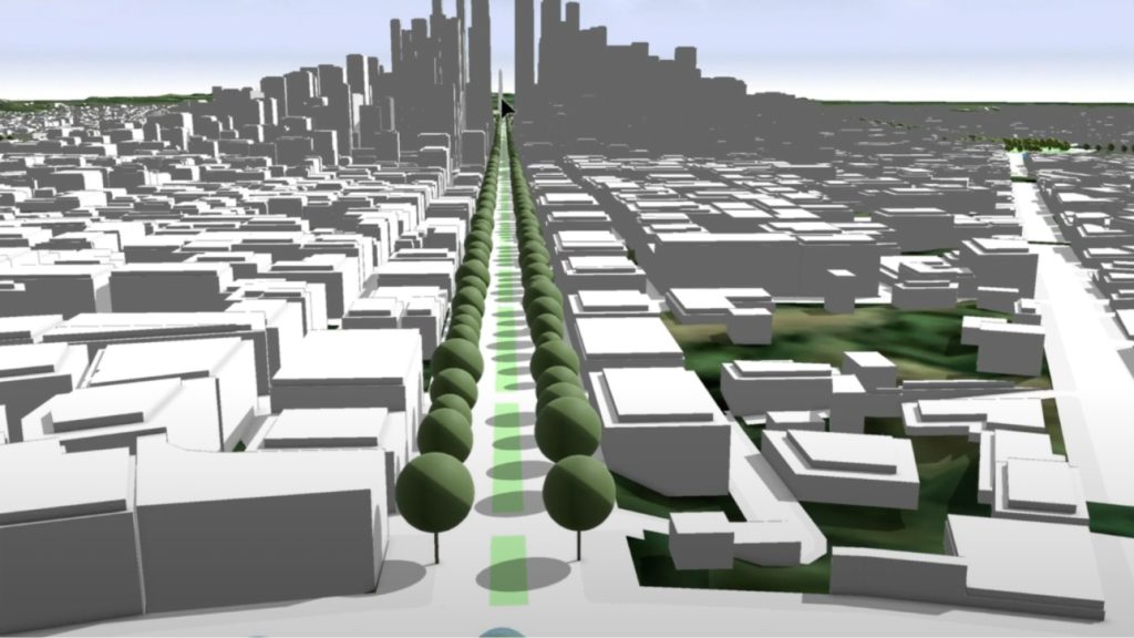
Three-dimensional GIS is becoming more accessible and practical, allowing for more immersive and detailed visualizations. 3D GIS applications are expanding in urban planning, architecture, and environmental conservation. These tools provide a more comprehensive understanding of spatial relationships and can be used for simulations, virtual tours, and complex spatial analysis.
Cloud-based GIS solutions
Cloud computing continues to transform GIS by offering scalable, flexible, and collaborative platforms. Cloud-based GIS solutions enable organizations to store, process, and share large datasets efficiently. This trend is driving the democratization of GIS, making powerful geospatial tools available to smaller organizations and remote teams.
Enhanced geospatial data visualization
Effective data visualization is essential for interpreting complex geospatial information. Advances in geospatial data visualization tools are making it easier to create interactive and intuitive maps. These visualizations help stakeholders understand spatial data more effectively, facilitating better decision-making and communication.
GIS in renewable energy
As the world shifts towards renewable energy, GIS is playing a critical role in site selection, resource management, and infrastructure planning. In 2024, expect to see more GIS applications focused on optimizing solar, wind, and other renewable energy projects. GIS helps identify optimal locations, assess environmental impacts, and manage resources efficiently.
Automating GIS workflows
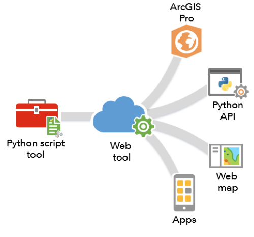
Automation is streamlining GIS workflows, reducing manual labor, and increasing efficiency. Tools like ModelBuilder in ArcGIS and scripting languages such as Python enable GIS professionals to automate repetitive tasks and complex analyses. This trend is particularly useful for large-scale projects and organizations looking to optimize their GIS operations.
Privacy and ethical considerations in GIS
With the increasing use of geospatial data, privacy and ethics are becoming more prominent concerns. In 2024, there will be a greater focus on developing guidelines and best practices to ensure ethical use of GIS. This includes protecting personal data, ensuring transparency, and addressing biases in data collection and analysis.
Mobile GIS and field data collection
Mobile GIS applications are enhancing field data collection by providing real-time access to geospatial data and tools. These applications improve data accuracy and efficiency, enabling field workers to collect, edit, and share data on the go. In 2024, advancements in mobile GIS will continue to support sectors such as agriculture, environmental monitoring, and infrastructure management.

The GIS landscape in 2024 is marked by significant technological advancements and expanding applications. By staying informed about these trends, GIS professionals can leverage new tools and techniques to enhance their work and drive innovation in their respective fields. As GIS continues to integrate with other technologies and industries, its impact will only grow, offering exciting opportunities for the future.

