Uganda Flying Labs: Safeguarding Coffee Farmers Against Risk
February 14, 2024 2024-02-14 9:27Uganda Flying Labs: Safeguarding Coffee Farmers Against Risk
Uganda Flying Labs: Safeguarding Coffee Farmers Against Risk
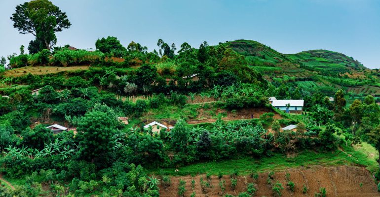
In Uganda, where coffee reigns as the largest export crop, the stakes are high for farmers facing challenges of climate change and economic uncertainty. Uganda ranking seventh in global coffee production and second in Africa, the need to safeguard this vital industry has never been more pressing. Traditionally, coffee harvests occur once a year, but in Uganda, the harvest spans from November to February, with a smaller, second harvest known as the fly crop from June to September.
Challenge
Due to climate change, rising temperatures and erratic patterns pose significant threats to coffee crops, leaving them vulnerable to pests, diseases, and reduced quality and yield. Moreover, the COVID- 19 pandemic added another layer of difficulty for farmers, disrupting cash flow and access to essential resources such as fertilizer, irrigation equipment, and high-quality seeds. Access to finance, agricultural training, and market data remains limited, exacerbating the challenges faced by both commercial and rural farmers.
To address these challenges, The Uganda Coffee Development Authority (UCDA) plays a crucial role in maximizing coffee yield production, export, and quality control. However, traditional methods of monitoring crop health, such as on-the-ground physical inspections, are costly, rime-consuming, and often limited in scope.
Solution
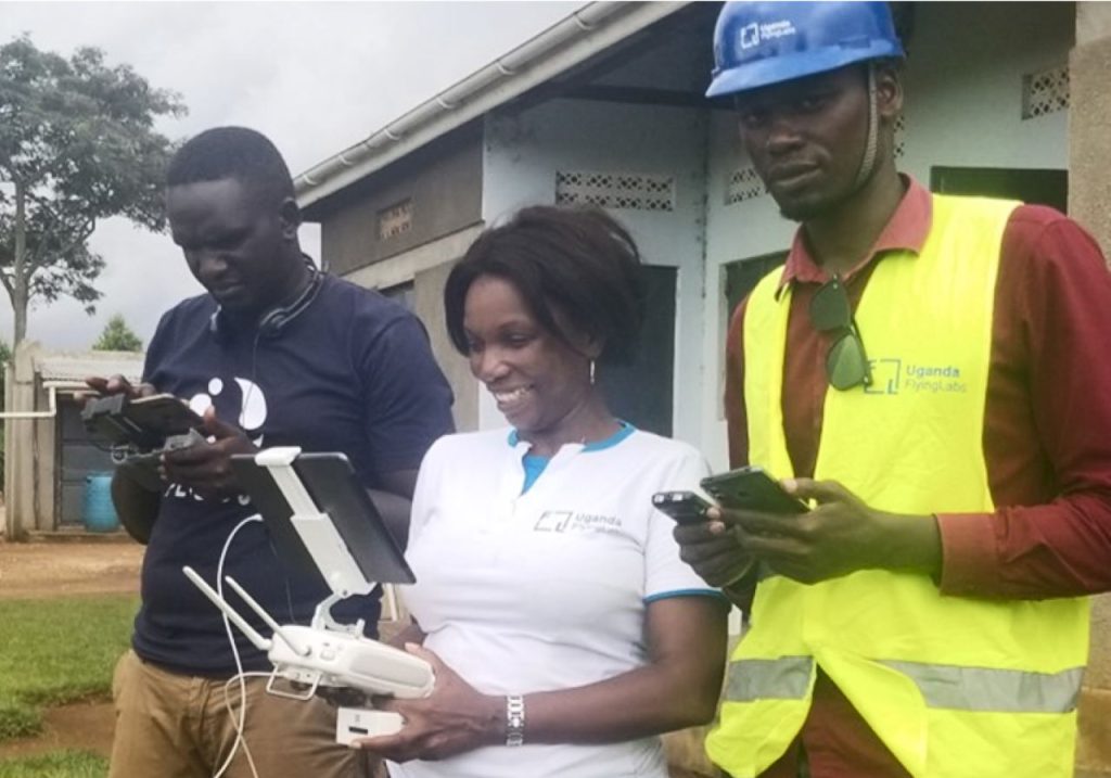
Uganda Flying Labs, a company specializing in drone technology and data analytics has been at the forefront in addressing these challenges – with a mission to promote sustainable adoption of technology in the region. Through a project funded by a microgrant, Uganda Flying Labs embarked on a groundbreaking initiative to capture high-resolution multispectral and RGB imagery using drones equipped with cameras.
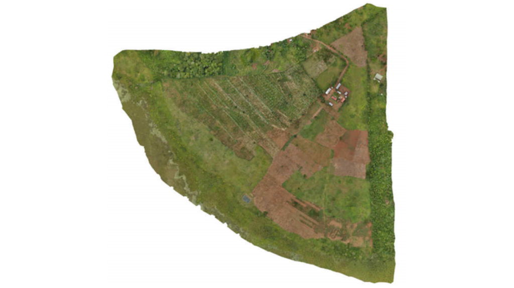
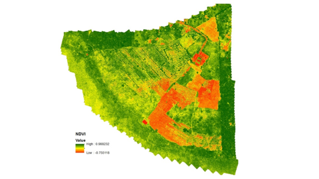
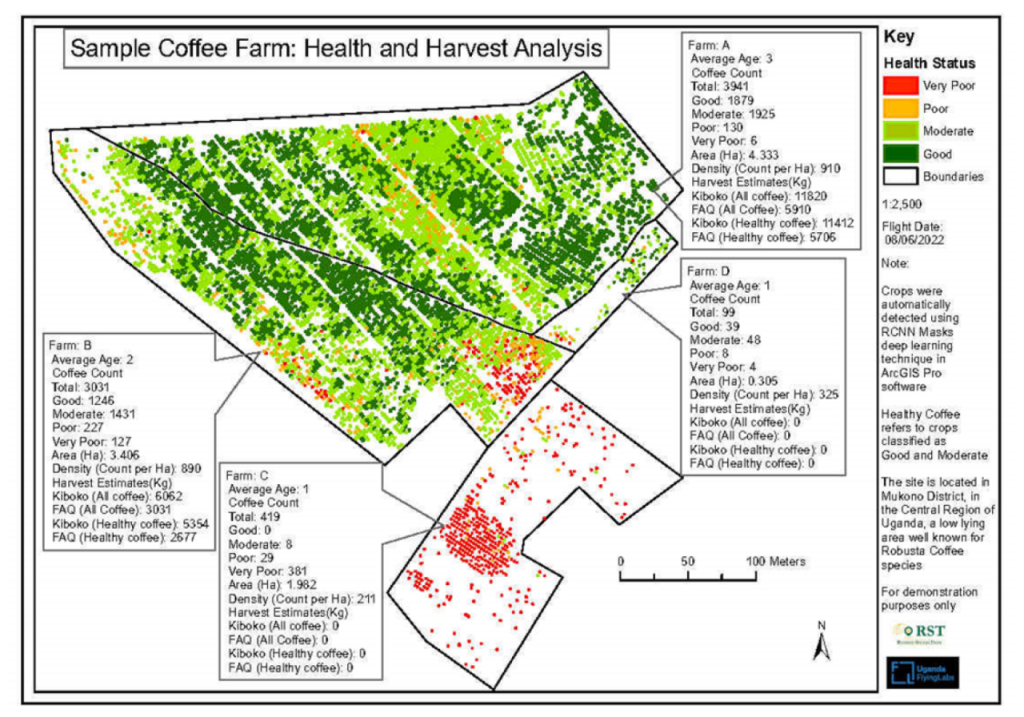
By leveraging advanced image interpretation and geospatial analysis tools such as ArcGIS Image Analyst and ArcGIS Pro, the project aimed to map individual coffee plant stands, assess their health, and identify areas under stress. Utilizing drones equipped with multispectral cameras, the project covered 44 hectares of coffee plantation, generating a wealth of data including digital surface models, reflectance maps, and normalized difference vegetation index (NDVI) maps.
Results
The results were nothing short of transformative. By overlaying NDVI maps with slope and contour maps, the project identified areas at risk of erosion and flood, providing crucial insights for stakeholders such as UCDA, lenders, insurers, and farmers. UCDA was keen to utilize this technology to estimate yields nationwide and address factors limiting improvements in crop yields and exports.
For farmers, exporters, and lenders alike, the project provided actionable insights into crop health, soil conditions, water needs, erosion risks, and more, empowering them to make informed decisions and intervene quickly when needed. With an intuitive GIS application, stakeholders can easily access and analyze the data, paving the way for a more resilient and sustainable coffee industry in Uganda.
The collaboration between Uganda Flying Labs and stakeholders in the coffee industry represents a beacon of hope for farmers facing the dual challenges of climate change and economic uncertainty. By harnessing the power of drone technology and data analytics, Uganda Flying Labs is helping to mitigate risk and ensure the long-term viability of Uganda’s coffee sector.
Disclaimer: This Article was first published by esri. View full story here

