What’s New in ArcGIS Drone2Map 2024.2
November 19, 2024 2024-11-20 12:22What’s New in ArcGIS Drone2Map 2024.2
What’s New in ArcGIS Drone2Map 2024.2
The latest release of ArcGIS Drone2Map is here, bringing exciting new features and enhancements. Below are the highlights of version 2024.2.
Related: What’s New in ArcGIS Maritime – November 2024
Processing Enhancements
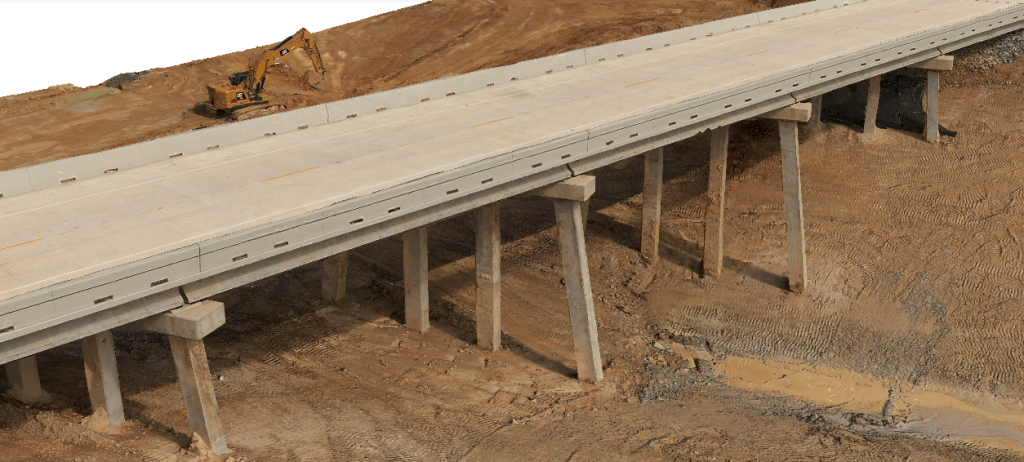
3D Point Cloud and 3D Mesh products have seen significant improvements. Processing times for generating 3D Point Clouds have been reduced, and both 3D Point Cloud and 3D Mesh quality has been enhanced.
High-density point cloud processing now captures more detail in thin structures like transmission towers, poles, and fences. Additionally, zooming in and out of 3D Mesh scenes better preserves detail.
Control Point Upgrades
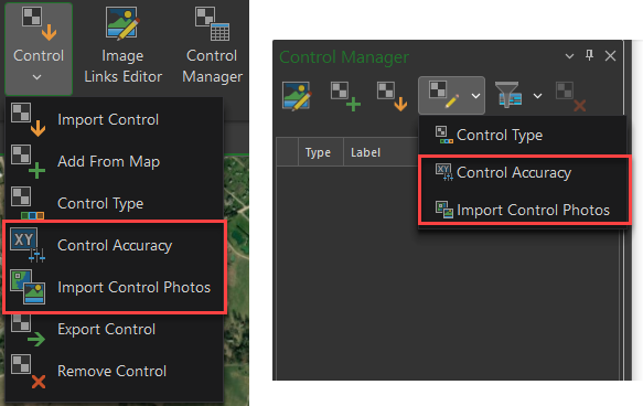
New tools offer more flexibility for managing control point photos and accuracy. Users can now import control point photos after a project is created via the home tab or control manager. Within the image links editor, control photos can be added, replaced, or deleted for individual points.
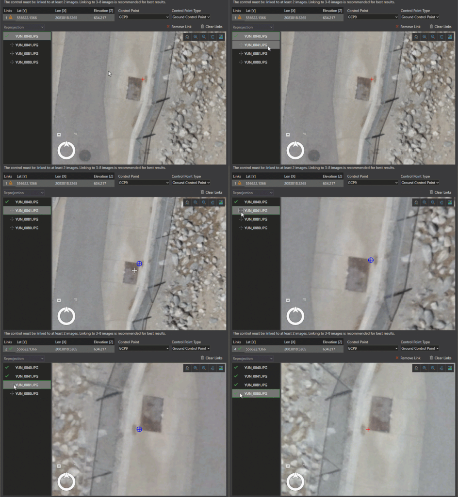
Control point accuracy settings for horizontal and vertical measurements can also be updated post-project creation, making adjustments seamless. Enhancements to the image links editor now allow selective acceptance of estimated image links, speeding up workflows and minimizing errors.
Improved navigation tools also simplify working with low-resolution datasets like thermal imagery, enabling smoother linking of control points.
Measurement Tools
The update introduces the ability to import existing feature classes or measurement datasets, enabling users to track changes over time for repeat flights in the same area. A new copy tool in the mensuration results pane lets users duplicate measurements and modify settings to compare results across different elevations or base surfaces.
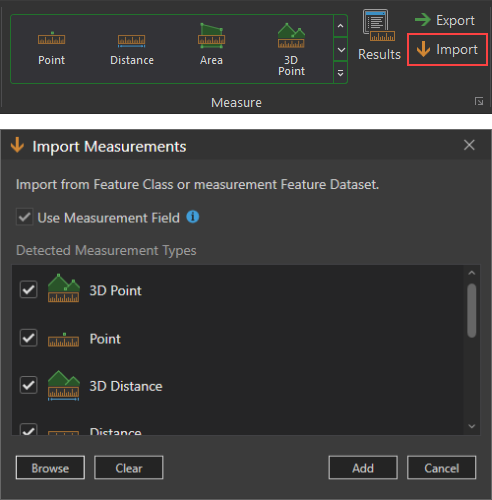
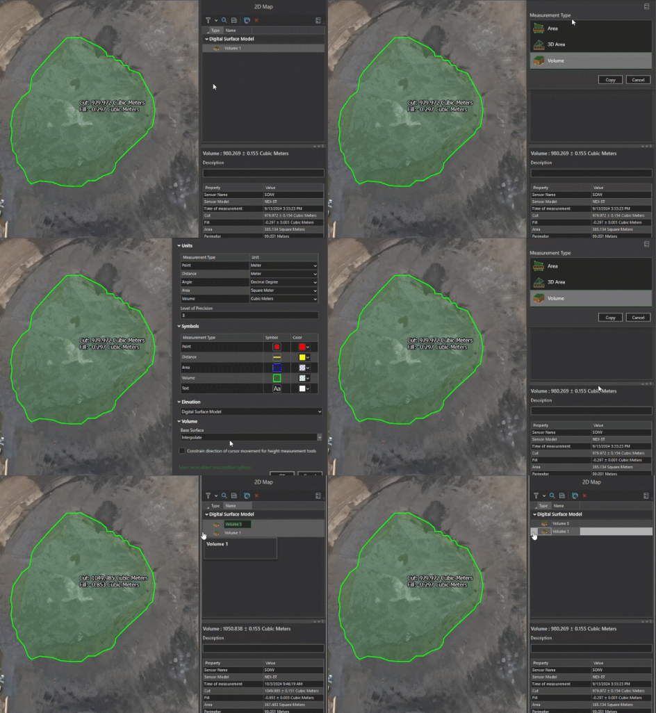
Image Metadata Viewer
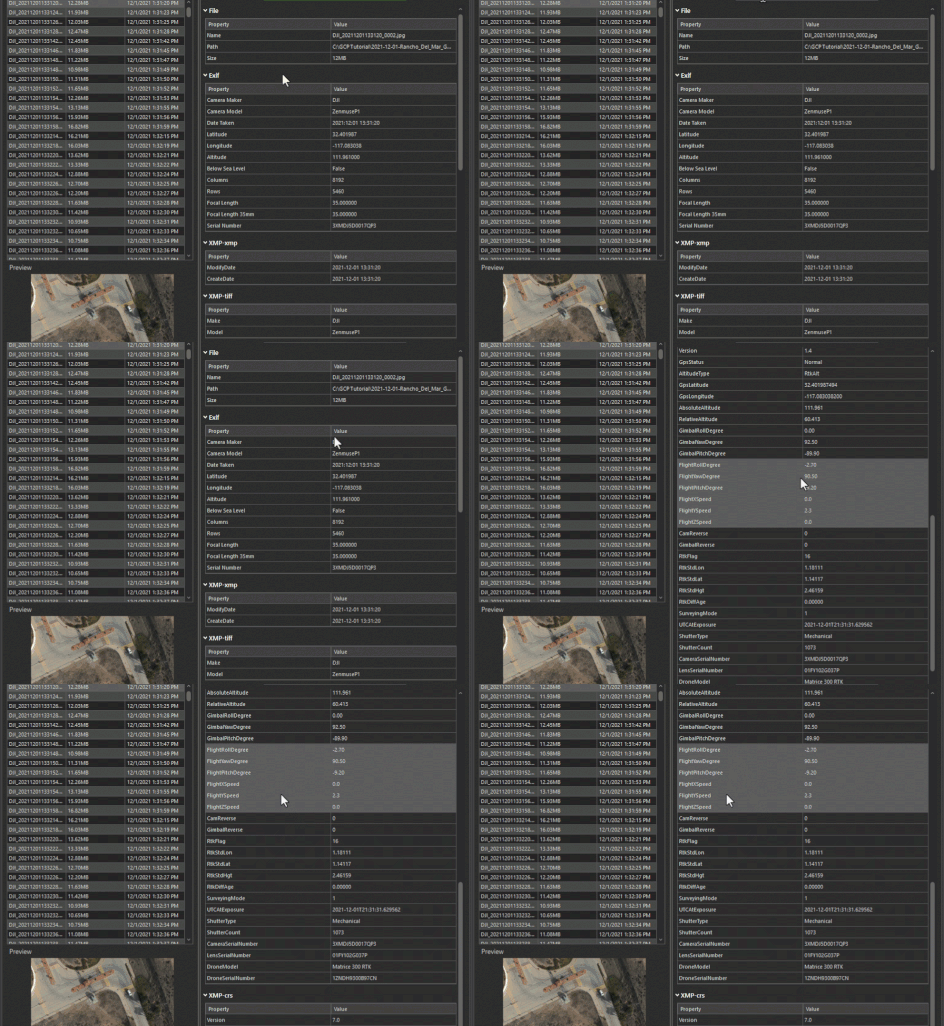
A searchable image metadata viewer has been added, making it easier to review metadata and troubleshoot processing results. Users can view metadata in a table alongside image previews, with updates displayed as images are selected.
Stay Connected
Have questions or feedback? Visit the Esri Community page to share your thoughts. To stay informed about Drone2Map updates.
Disclaimer: This Article was originally written by Mark Barker. See view article here

