What’s New in Map Viewer (June 2024)
July 11, 2024 2024-07-11 18:28What’s New in Map Viewer (June 2024)
The June 2024 update for Map Viewer introduces significant enhancements to attribute tables and data management, including a new field calculation experience and the ability to view related records directly in the table. You can now manage your fields without leaving Map Viewer.
Highlights:
Attribute Table Enhancements:
- Editing: Launch the Editor pane directly from the attribute table to create, edit, and delete records.

- Author Forms: Author forms for table layers in Map Viewer with calculated expressions and conditional visibility.
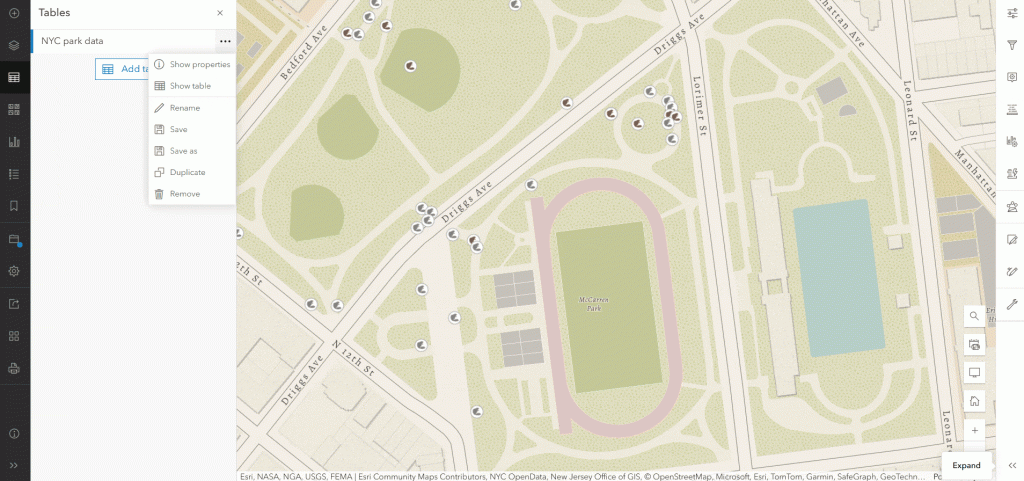
- Viewing Related Records: View related records in the attribute table and navigate relationships with breadcrumb guides.
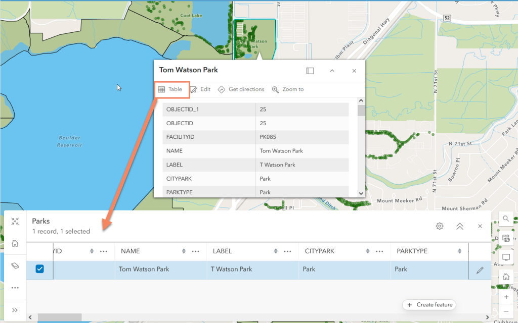
- Open from Pop-Up: Open the attribute table for a selected feature directly from the pop-up.
Data and Field Management:
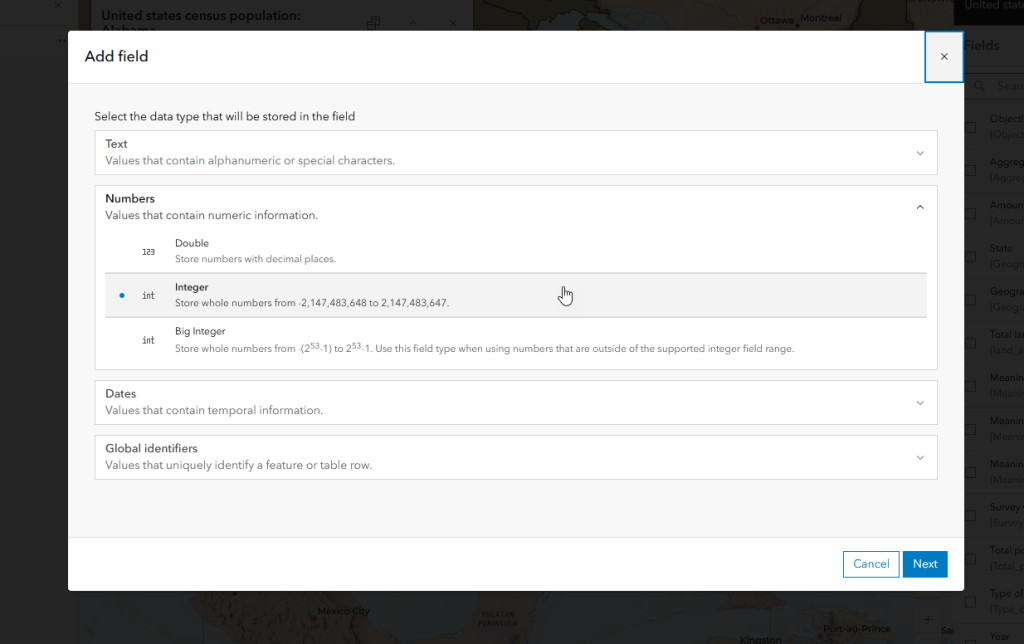
- Add/Delete Fields: Manage, add, and delete fields from the Fields pane in Map Viewer.
- Field Calculation: New immersive calculation experience to filter data, visualize impacts, and run test calculations.
Smart Mapping and Styling:
- Reference Size Theme: Visualize proportional symbols with a fixed-size outer ring for easy size comparison.
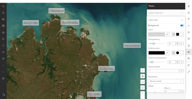
- Aggregation and Labeling: Use custom Arcade expressions for labeling, pop-ups, and styling bins, with advanced label placement options.
Imagery Updates:
- Licensing Changes: Hosted imagery now available for users with Creator, Professional, or Professional Plus user types.
- Enhanced Capabilities: Configure multiple dimensions for multidimensional imagery layers and new options for oriented imagery layers.
Catalog Layer:
- Organize layers into a dynamic, browsable experience within a map, displaying footprints as you pan or zoom.
Printing:
- Print maps using custom layout templates defined in ArcGIS Pro, with a new print preview option.
Analysis and Filter Improvements:
- Custom Web Tools: Run web tools published from Notebooks in Analysis.
- Date Queries: Create relative date queries on date fields from enterprise services and new time field types.
Performance Improvements:
- Faster loading times for maps with many layers.
Sketch and Charts Enhancements:
- Bulk Actions: More control over symbol modifications.
- Box Plot Charts: New option to visualize data with multiple series.
Other Enhancements:
- Versioned Data Support: Switch between versions and make edits with Advanced Editing user type.
- Pop-Ups: Configure and view related records in Map image layer pop-ups.
- OGC WMS: Time support for time-enabled WMS layers.
Explore these new features and let us know how they enhance your work! Share your feedback on this blog, the ArcGIS Ideas site, or the Esri Community.
Happy mapping!
Disclaimer: This Article was first written by Bekah Bollin & Chris Whitmore, view full article here

