Home
June 8, 2022 2025-02-26 11:24Home

Enhancing Precision Agriculture with GIS Technology
 Rachael Mutuli
 June 21, 2024
This blog explores how GIS technology, particularly through ArcGIS, is revolutionizing precision agriculture
Read More

Using Drones for High-Resolution Mapping and Surveying
Rachael Mutuli
June 19, 2024
In the ever-evolving field of GIS, drones have emerged as a game-changing technology for high-resolution mapping and surveying.
Read More


Top GIS Trends to Watch in 2024
Rachael Mutuli
June 7, 2024
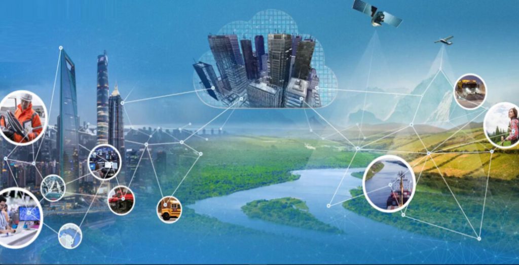
Geographic Information Systems (GIS) continue to evolve, offering innovative solutions and powerful tools that drive advancements across various industries. As…
Read More
Exciting Updates in ArcGIS StoryMaps (April 2024)
Rachael Mutuli
April 30, 2024
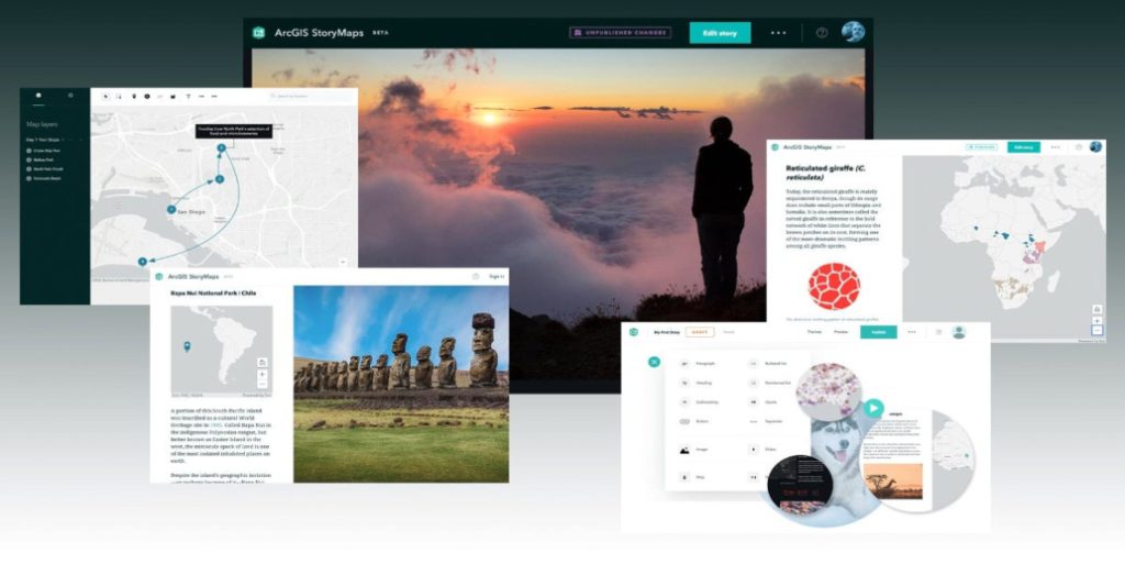
ArcGIS StoryMaps stands as the premier storytelling tool, allowing you to seamlessly transform your geographical insights into captivating interactive narratives…
Read More
What’s New in the ArcGIS StoryMaps Briefings App (April 2024)
Rachael Mutuli
April 30, 2024
Craft dynamic presentations, termed briefings, effortlessly with the ArcGIS StoryMaps builder, fusing vital information into easily shareable slides. Seamlessly transport…
Read More
Tips & Tricks: Field Data Collection Best Practices
Rachael Mutuli
April 16, 2024
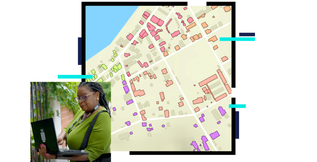
In this blog article, we’ll delve into some indispensable tips and tricks to optimize your field data collection practices in…
Read More
Three Things ArcGIS Online Credits Can Do for You
Rachael Mutuli
April 11, 2024
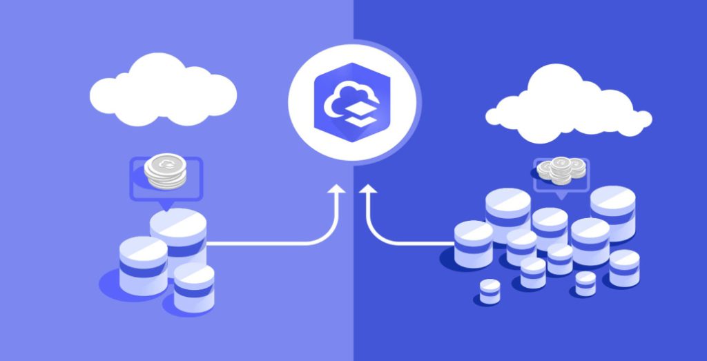
ArcGIS Online credits is a form of currency that allows users to unlock various features and capabilities within the platform.
Read More
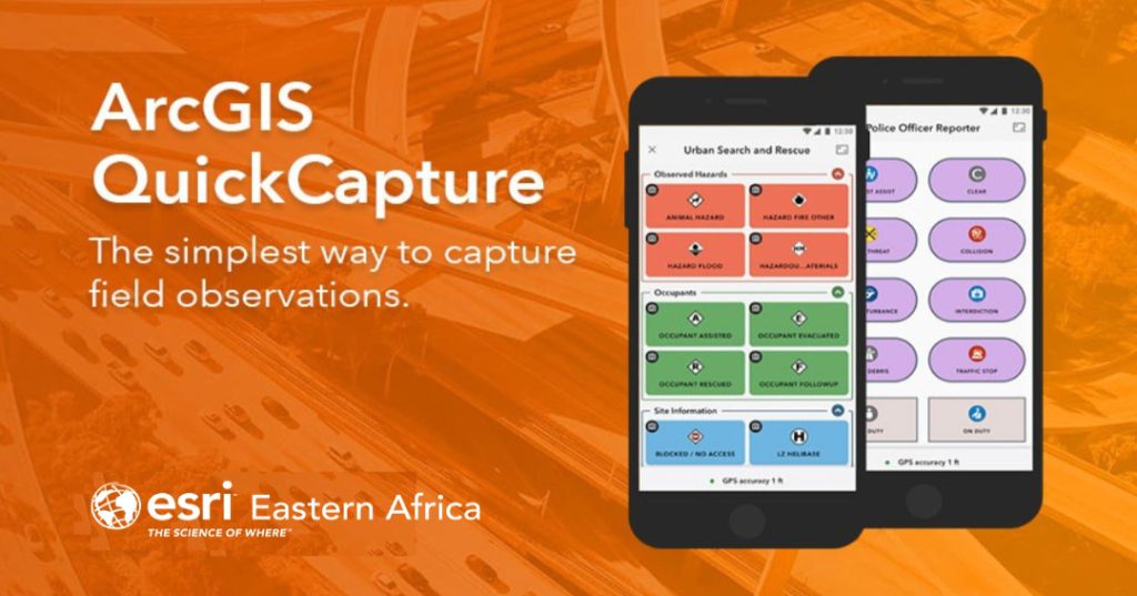
Tips and Tricks with ArcGIS QuickCapture
Rachael Mutuli
March 20, 2024
In the realm of Geographic Information Systems (GIS), data collection is the cornerstone of informed decision-making.
Read More

Transforming Interior Spaces with ArcGIS Indoors
Rachael Mutuli
March 15, 2024
So, how exactly does ArcGIS Indoors work, and how can it be leveraged to transform interior spaces? Let’s delve into…
Read More
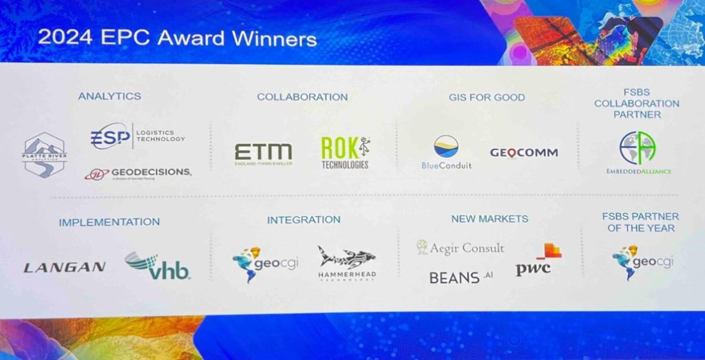
Aegir Consult Receives Esri’s New Markets Award
Rachael Mutuli
March 11, 2024
Aegir Consult received the New Markets Award at the 2024 Esri Partner Conference (EPC) held on March 10–11, 2024, in…
Read More
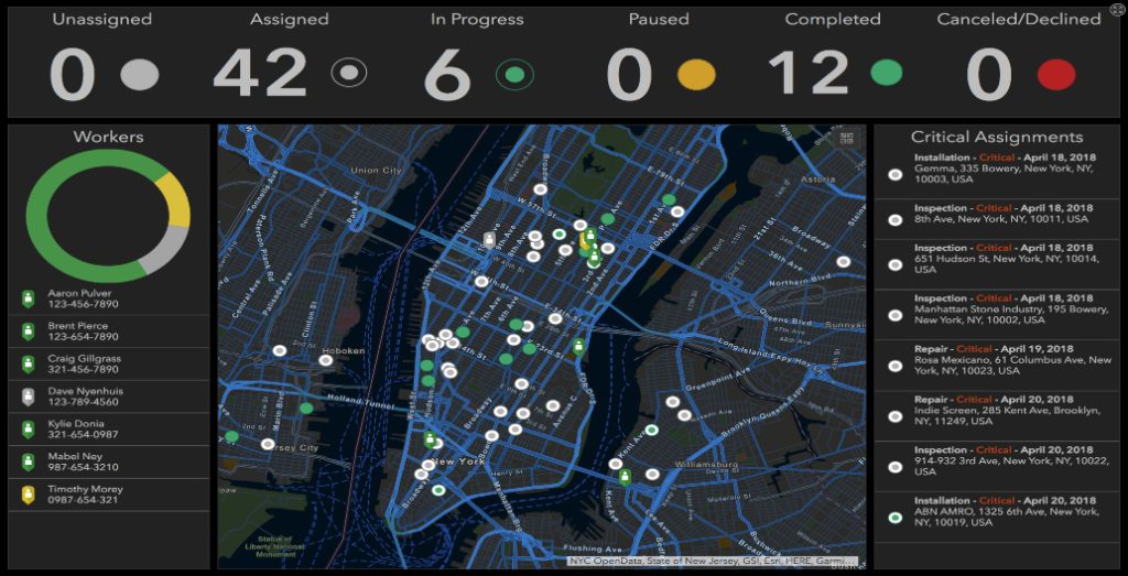
Visualizing Real-Time Data for Effective Decision Making
Rachael Mutuli
March 4, 2024
In today’s data-driven world, making informed decisions in real-time is crucial for organizations across diverse industries. Whether you’re managing a…
Read More
Introducing the Latest in ArcGIS GeoBIM: February 2024 Release
Rachael Mutuli
February 21, 2024
In the realm of architecture, engineering, and construction (AEC), effective collaboration is paramount. ArcGIS GeoBIM emerges as a game-changer…
Read More

Uganda Flying Labs: Safeguarding Coffee Farmers Against Risk
Rachael Mutuli
February 14, 2024
In Uganda, where coffee reigns as the largest export crop, the stakes are high for farmers facing challenges of climate…
Read More