Home
June 8, 2022 2025-02-26 11:24Home
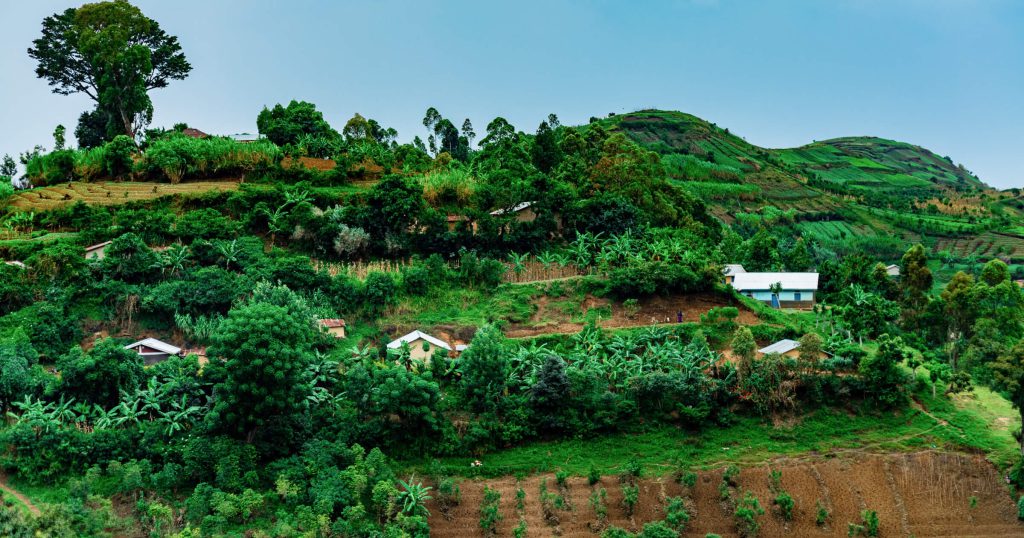
Uganda Flying Labs: Safeguarding Coffee Farmers Against Risk
 Rachael Mutuli
 February 14, 2024
In Uganda, where coffee reigns as the largest export crop, the stakes are high for farmers facing challenges of climate…
Read More
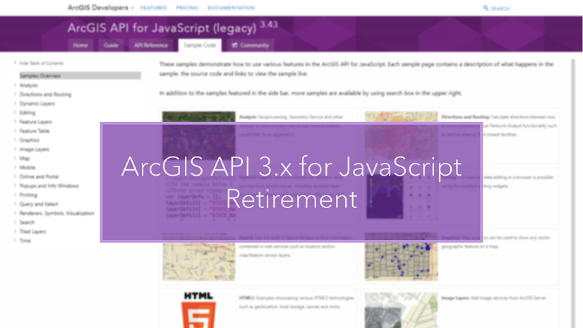
ArcGIS API for JavaScript Version 3.x Retirement
Rachael Mutuli
February 8, 2024
After 15 years of powering web mapping applications across various industries worldwide, the ArcGIS API for JavaScript Version 3.x will…
Read More
ArcGIS Web AppBuilder Retirement
Rachael Mutuli
February 8, 2024
Web AppBuilder is heading into retirement, but fear not
Read More

Top 3 Courses for ArcGIS Beginners
Rachael Mutuli
February 7, 2024
Our instructor-led foundational courses are meticulously crafted to equip you with the essential skills and
Read More
Mastering Geospatial Data Management in ArcGIS Pro
Rachael Mutuli
February 5, 2024
In this blog post, we will explore essential tips and tricks to help you master ArcGIS Pro and streamline your…
Read More

Transforming Urban Planning with ArcGIS: A New Era of Smart Cities
Rachael Mutuli
February 1, 2024
The rapid pace of urbanization in the 21st century presents both opportunities and challenges for cities around the world. As…
Read More

Drileyo Gilbert: The GIS Trailblazer Transforming Uganda’s Wildlife Conservation Landscape
Rachael Mutuli
January 17, 2024
In this edition, we focus on Drileyo Gilbert, a wildlife biologist and research scientist at the Uganda Wildlife Research &…
Read More
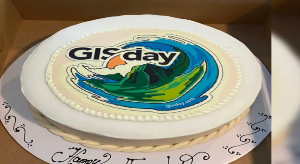
Esri Eastern Africa’s Remarkable GIS Day Across Universities and Institutions
Rachael Mutuli
December 19, 2023
In a triumphant showcase of geospatial technology and expertise, Esri Eastern Africa marked GIS Day with a series of vibrant…
Read More
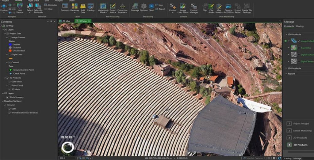
Exploring the Latest Enhancements in ArcGIS Drone2Map (November 2023)
Rachael Mutuli
December 6, 2023
ArcGIS Drone2Map has recently unveiled its latest version, and it brings forth an array of exciting features and improvements. In…
Read More
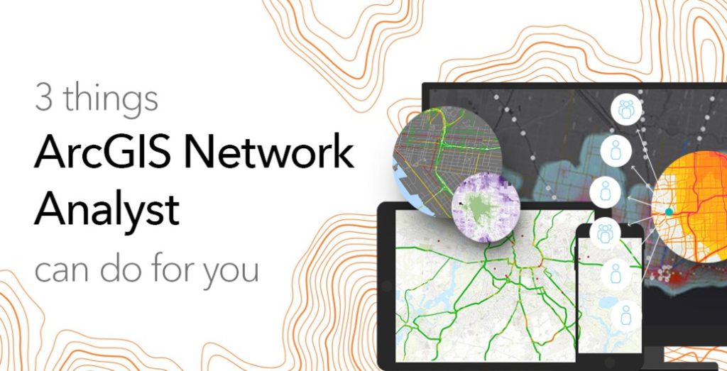
3 Things ArcGIS Network Analyst Can Do for You
Rachael Mutuli
November 30, 2023
ArcGIS Network Analyst is a versatile and powerful tool that brings a new dimension to spatial analysis within the ArcGIS…
Read More
How to Leverage ArcGIS for Stunning Maps and Apps
Rachael Mutuli
November 24, 2023
Explore how you can leverage the full potential of ArcGIS to create stunning maps and applications.
Read More
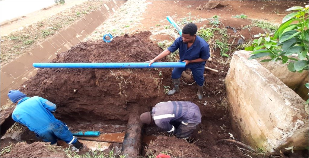
Maps and Apps Revolutionize Water Management in Arusha City
Rachael Mutuli
November 1, 2023
The Arusha Urban Water Supply and Sanitation Authority (AUWSA), entrusted with the responsibility of overseeing water supply and…
Read More

Kenyatta University: A Beacon of GIS Excellence in Eastern Africa
Rachael Mutuli
November 1, 2023
In a remarkable transformation, Kenyatta University in Nairobi, Kenya, rapidly evolved into a distinguished center of GIS excellence in Eastern…
Read More
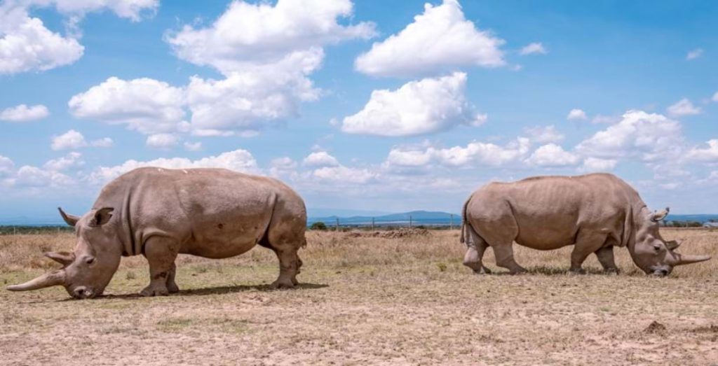
Real-Time Ecological Monitoring Safeguards Kenya’s Endangered Rhinos
Rachael Mutuli
October 31, 2023
Fatu and Najin, the last two northern white rhinos on Earth, reside at Kenya’s Ol Pejeta Conservancy (OPC), living under…
Read More
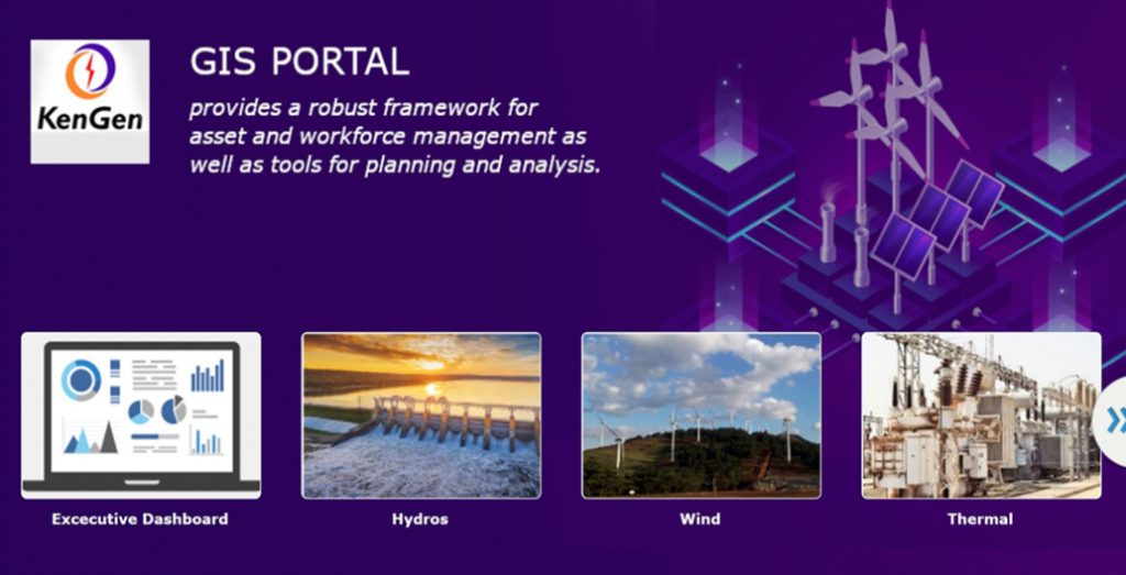
KenGen’s GIS Portal Fueling a Digital Transformation
Rachael Mutuli
October 30, 2023
This transformation was vital as KenGen faced the challenges of rapid expansion in its production facilities and the dynamic landscape…
Read More